What is recorded here
Forty metres of forgotten wall still bends beneath the soil of Crossconnell More, though no stone or ditch now marks its edge. The land itself has swallowed the fort, leaving only a smooth mound that deceives the eye and invites imagination. What was built, defended or abandoned has returned to the quiet patience of earth.
In undulating farmland. Named 'Fort' on OS Fair Plans and marked on OS 6-inch maps as a roughly circular enclosure (D c. 40m) cut by a number of field boundaries. All that is now visible is an apparently natural mound.
The above description is derived from the published 'Archaeological Inventory of County Galway Vol. II - North Galway'. Compiled by Olive Alcock, Kathy de hÓra and Paul Gosling (Dublin: Stationery Office, 1999).
Date of upload: 05 August 2010
The monument record does not grant public access. Check the route and ask the landowner before entering private land.
- What survives
- Recorded monument
Places near here
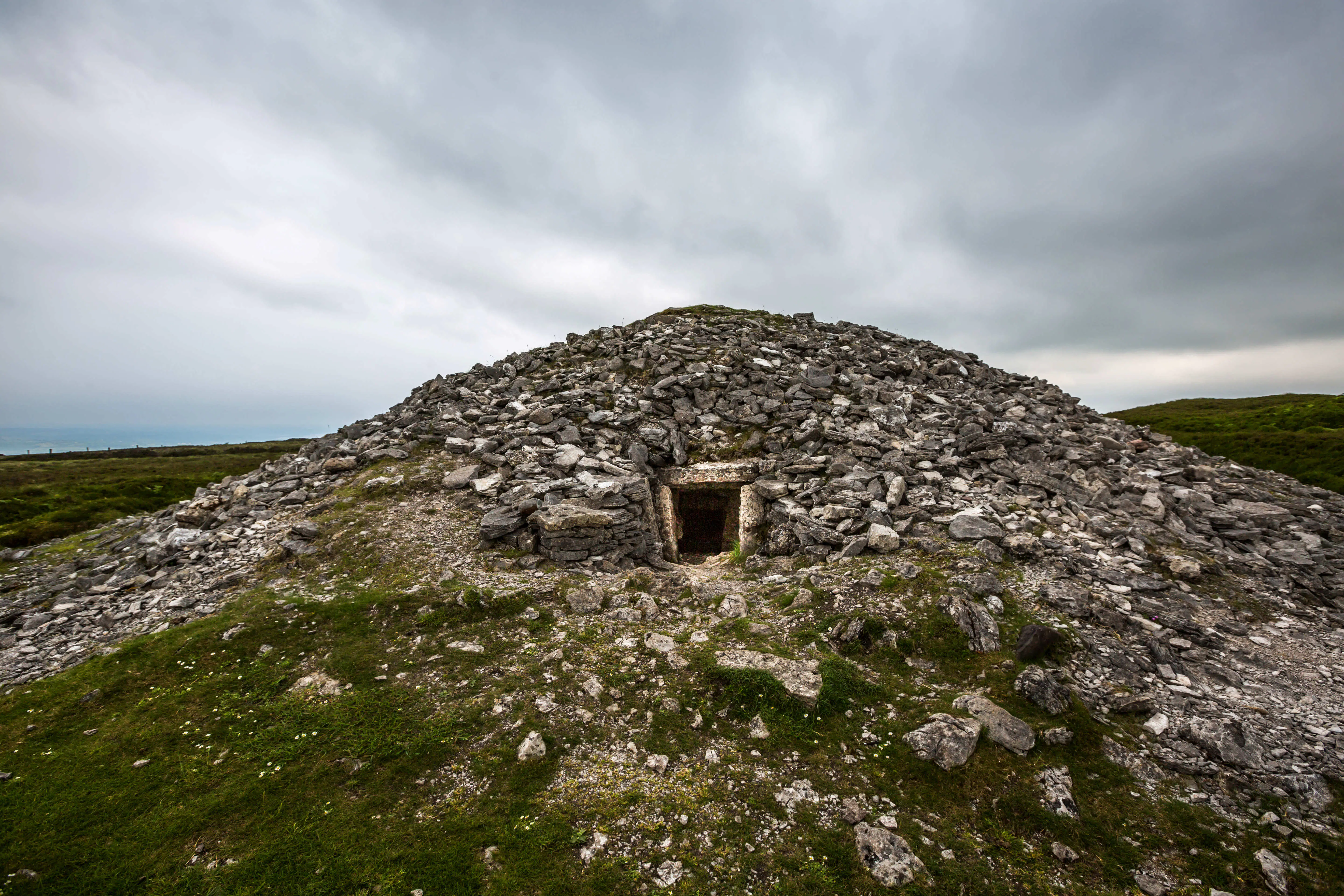 Quarry in Carrowkeel (clonmacnowen By.)Quarry · 680 yd
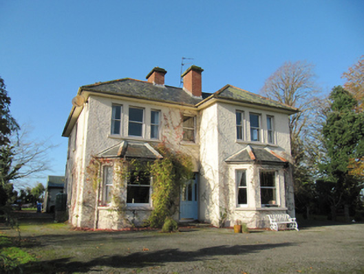 Garryduff Househouse · 771 yd
 LisnagranFairy fort / earthen ringfort · 951 yd
 Ballagh Castle (in Ruins)Castle, unclassified · 1141 yd
 LisleaArchaeological place · 1187 yd
 European BeechEuropean Beech · 1.8 mi
 Urraghry HillMountain / peak · 2.0 mi
 European YewEuropean Yew · 2.1 mi
 The bloody HollowHeritage attraction · 2.4 mi
 Battle of AughrimMajor battlefield · 2.7 mi
 Bawn in Cooltymurraghy (clonmacnowen By.)Bawn · 2.8 mi
 Battle of Aughrim Interpretative CentreMuseum · 3.2 mi