What is recorded here
No visible fort remains in Corrafaireen, though a circular enclosure once stood on the low ridge before reclaiming erased it. Two field-clearance cairns still mark the grassland where the boundary disappeared.
On a low ridge in grassland. Marked on 1st ed. of OS 6-inch map as a roughly circular enclosure (D c. 60m) within a large area of rock outcrop. No visible surface trace survives. The area has since been reclaimed and all that is now visible are two probable field-clearance cairns.
The above description is derived from the published 'Archaeological Inventory of County Galway Vol. II - North Galway'. Compiled by Olive Alcock, Kathy de hÓra and Paul Gosling (Dublin: Stationery Office, 1999).
Date of upload: 05 August 2010
The monument record does not grant public access. Check the route and ask the landowner before entering private land.
- What survives
- Recorded monument
Places near here
 Tober PatrickHoly well · 478 yd
 Man-made underground passageMan-made underground passage · 815 yd
 CashlaundarraghCastle · 1613 yd
 R. C. ChapelChurch · 1.1 mi
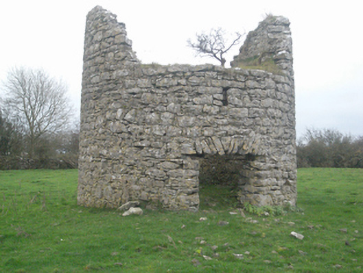 mill (wind)mill (wind) · 1.2 mi
 Castle FrenchCastle, unclassified · 1.3 mi
 SycamoreSycamore · 1.7 mi
 Common WhitebeamCommon Whitebeam · 1.8 mi
 Knockmoy AbbeyHeritage attraction · 3.1 mi
 Menlough IRAMemorial · 7.0 mi
 Mass RockNamed rock · 12 mi
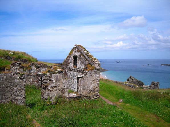 Settlement desertedSettlement deserted, medieval · 1376 yd