What is recorded here
Cloghergoole is a hidden ringfort on the east slope of a drumlin ridge in County Cavan. It appeared as a fort on early maps but vanished from human sight, leaving behind a clean absence instead of a ruined wall. The land kept the shape while people stopped seeing it, which is the kind of privacy a fortress deserves after too much warning.
Marked 'Fort' on OS 1836 ed. and 'Site of' on 1876 ed. Situated on the E slope of a drumlin ridge. Not visible at ground level.
The above description is derived from the published 'Archaeological Inventory of County Cavan' (Dublin: Stationery Office, 1995). In certain instances the entries have been revised and updated in the light of recent research.
Date of upload/revision: 22 December 2008
The monument record does not grant public access. Check the route and ask the landowner before entering private land.
- What survives
- Recorded monument
Places near here
 IndicatedFairy fort / stone ringfort · 1202 yd
 Ballaghanea Portal TombArchaeological place · 1.0 mi
 RahardrumCastle, unclassified · 1.4 mi
 Ballaghanea Island SouthIslet · 1.5 mi
 CornasheskMountain / peak · 1.5 mi
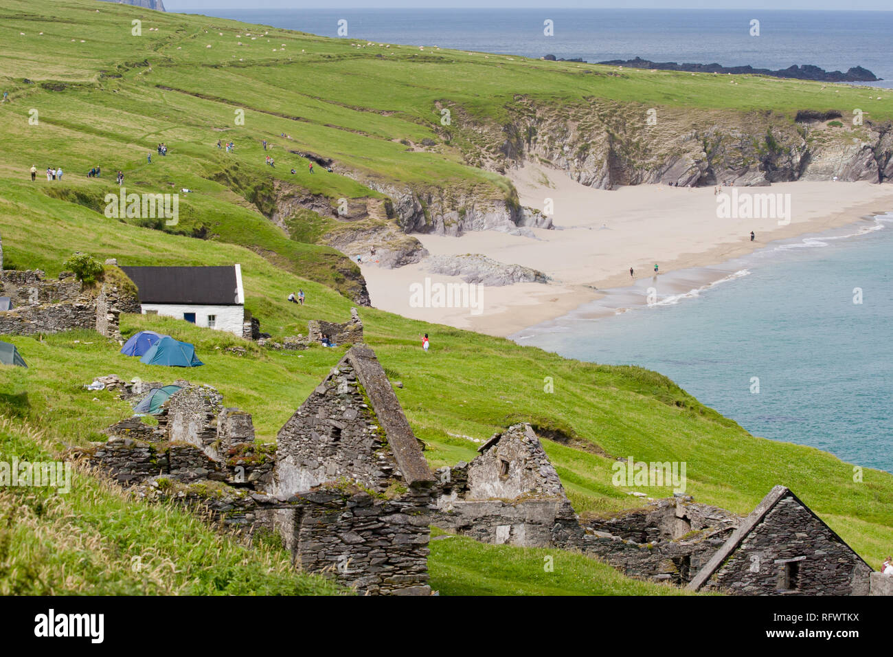 Ballaghanea IslandIslet · 1.5 mi
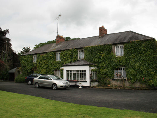 farm housefarm house · 1.5 mi
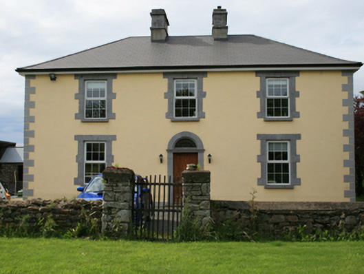 Pollintemple Housefarm house · 1.6 mi
 Sessile OakSessile Oak · 1.6 mi
 Ramor Aontaithe C.L.G. Dolan ParkMemorial · 1.7 mi
 Rahardrum Sand BankWood · 1.7 mi
 Cornaglare or PalmiraMountain / peak · 1.9 mi