What is recorded here
Situated within rough grazing, on flat land which slopes away slightly to the south west, now bounded to south by Heathfield housing estate and to north by the M50. This site comprises a circular platform (diam. 34m; H 1-1.8m). The bank has not survived and there are no traces of an external fosse. The entrance may have been in the west where farm machinery has damaged the site.
Compiled by: Geraldine Stout
Updated by; Christine Baker
Date of upload: 23 January 2015
The monument record does not grant public access. Check the route and ask the landowner before entering private land.
- What survives
- Recorded monument
Places near here
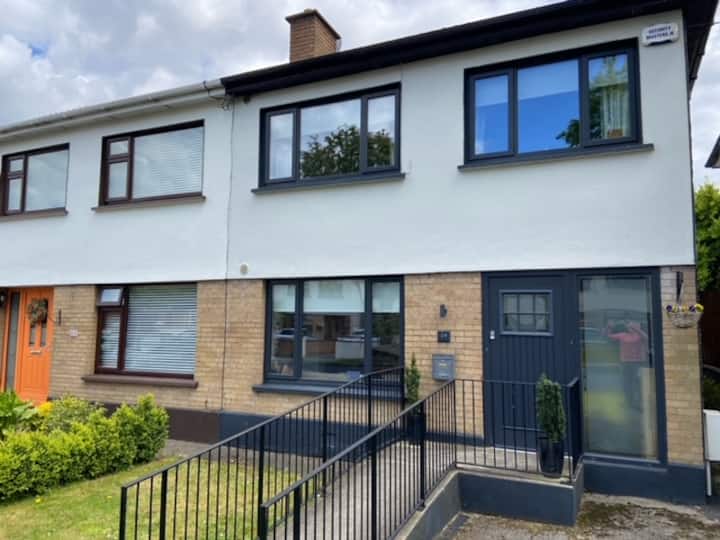 Habitation site in CappogeHabitation site · 541 yd
 Enclosure in CappogeEnclosure · 657 yd
 Site of CastleCastle, tower house · 860 yd
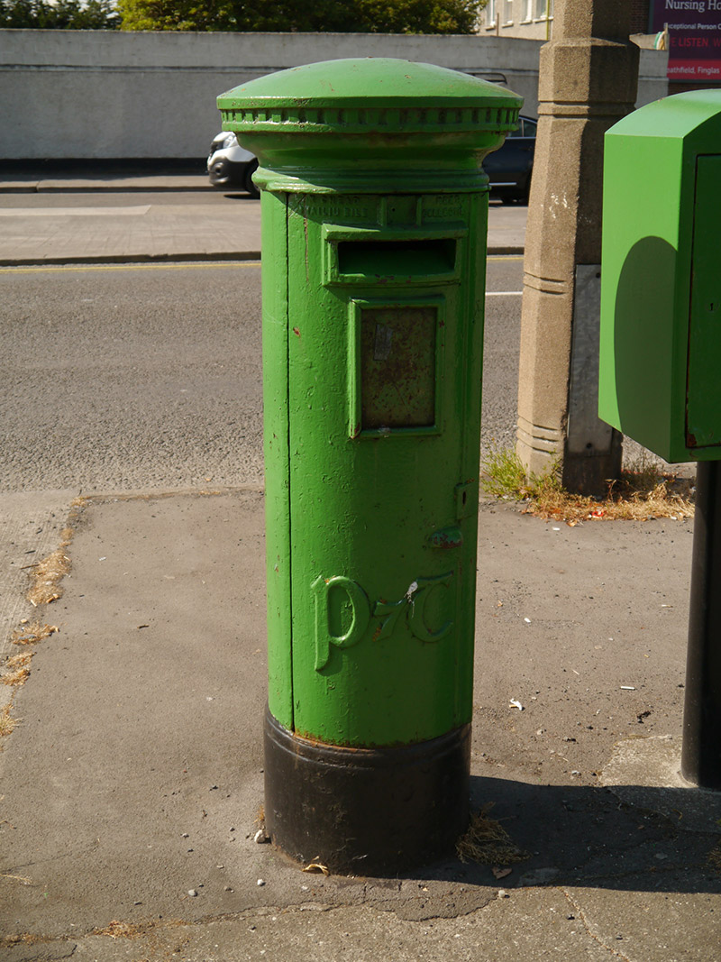 post boxpost box · 1312 yd
 Liam Ó MaoilíosaMemorial · 1407 yd
 Dunsink Observatoryobservatory/telescope · 1433 yd
 Richard McKeeMemorial · 1.2 mi
 Castle (site of)Castle, unclassified · 1.5 mi
 Horizon Logistics ParkVisitor information · 2.2 mi
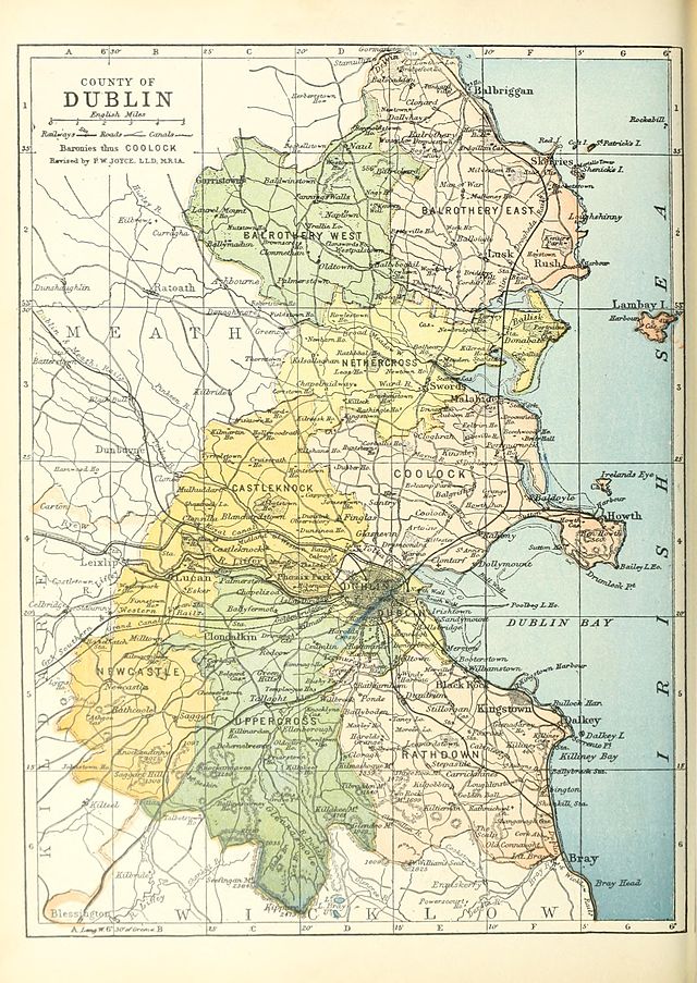 UHVisitor information · 2.5 mi
 Glasnevin CemeteryHistoric cemetery · 2.6 mi
 The O'Connell TowerHeritage attraction · 2.7 mi