What is recorded here
Fairy fort / ringfort in Bushyisland occupied a gentle north-facing slope in County Limerick, measured about twenty metres across on a 1923 map. The circle sat inside woodland, likely marking a boundary, shelter or ceremony for people long gone. Ploughs and clearing removed its ridge, yet the name preserves what the land once held.
In pasture, on gentle N-facing slope. Depicted on 1923 OS 6-inch map as hachured circular area (diam. c. 20m) within wooded area. Levelled; no visible surface trace evident. Wooded area has been cleared.
Compiled by: Denis Power
Date of upload: 26 August 2011
The monument record does not grant public access. Check the route and ask the landowner before entering private land.
- What survives
- Recorded monument
Places near here
 CastleCastle, tower house · 1142 yd
 Prospect Househouse · 1.1 mi
 schoolschool · 1.1 mi
 Bawn in Castletown (kenry By.)Bawn · 1.2 mi
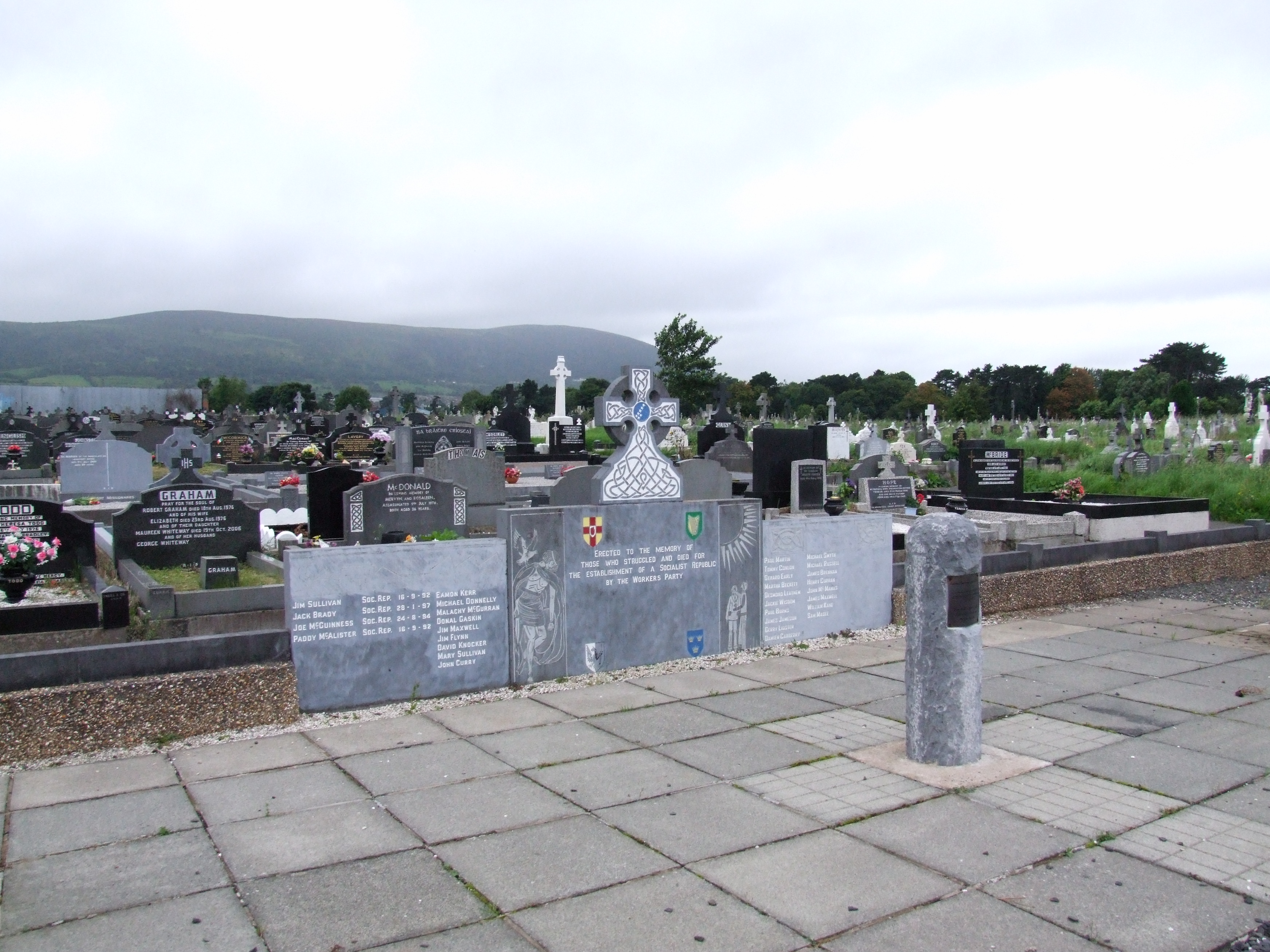 (Site of) Grave YardBurial ground · 1.2 mi
 IndicatedFairy fort / earthen ringfort · 1.5 mi
 Horse RockNamed rock · 1.6 mi
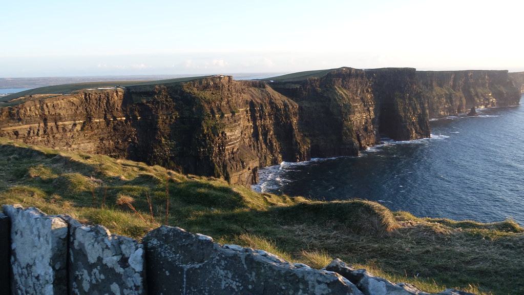 Conor's RockNamed rock · 1.9 mi
 Ringmoylan PierVisitor information · 2.0 mi
 Shannon Airport Aviation GalleryMuseum · 2.4 mi
 Greenish IslandIslet · 3.8 mi
 Pan Am Flight 1-10aviation accident · 4.1 mi