What is recorded here
No amount of thinking can call back what the stones took. I can only remember the shape of the loss and ask you to see it.
In undulating grassland, formerly demesne land. Marked on 1st ed. of OS 6-inch map as a circular enclosure (D c. 40m). The area has been extensively quarried and no visible surface trace survives.
The above description is derived from the published 'Archaeological Inventory of County Galway Vol. II - North Galway'. Compiled by Olive Alcock, Kathy de hÓra and Paul Gosling (Dublin: Stationery Office, 1999).
Date of upload: 05 August 2010
The monument record does not grant public access. Check the route and ask the landowner before entering private land.
- What survives
- Recorded monument
Places near here
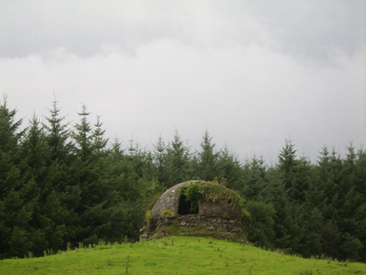 Woodlawnicehouse · 552 yd
 Enclosure in WoodlawnEnclosure · 595 yd
 The Rectoryrectory/glebe/vicarage/curate's house · 638 yd
 Large-leaved LimeLarge-leaved Lime · 741 yd
 RectoryEcclesiastical residence · 782 yd
 Western RedcedarWestern Redcedar · 1154 yd
 Site of Lisnamoltaun CastleCastle, unclassified · 1.4 mi
 CastleCastle, unclassified · 1.5 mi
 Kilconnell AbbeyHeritage attraction · 3.1 mi
 Turoe StoneHeritage attraction · 6.1 mi
 Battle of Aughrim Interpretative CentreMuseum · 6.6 mi
 Battle of AughrimMajor battlefield · 7.0 mi