What is recorded here
Mortons and Sarsfields built Woodfield, but the fort predates them. A forty-metre earthen ring still stands beside the sports ground, its shallow ditch and uneven bank marking an older human presence beneath the pasture. The fairies may have claimed it later, yet people lived, worked or fled there before mythology arrived.
In pasture, on level terrain. A sports grounds lies immediately adjacent to E. Circular area (diam. 40m) enclosed by earthen bank, with external fosse (D 0.5m; Wth 4m) SSW->NE. Bank (int. H 1.2m; ext. H 2.2m), best preserved NW->N, is skirted by wire fence with concrete posts along external base ENE->SSE. Field boundaries abut bank at NW and N. Fosse, best preserved NW->N, is clipped by farm passage along outer edge WSW->WNW. Interior, under pasture, dips down towards centre. There are small dumps of earth and stones along verges. Mature coniferous and deciduous trees grow along bank.
Compiled by: Denis Power
Date of upload: 26 August 2011
The monument record does not grant public access. Check the route and ask the landowner before entering private land.
- What survives
- Recorded monument
Places near here
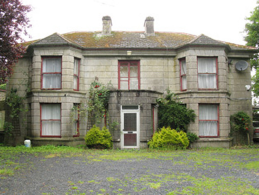 Woodfield Househouse · 665 yd
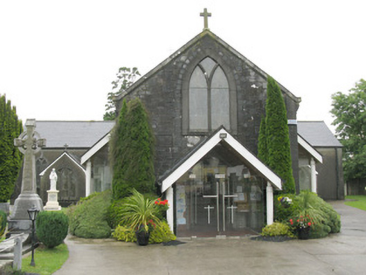 Saint Bartholomew's Catholic Churchchurch/chapel · 751 yd
 DromcolliherSettlement cluster · 808 yd
 Enclosure in BallinlongigEnclosure · 1004 yd
 National Co-op MuseumMuseum · 1009 yd
 ToberacappeenSpring · 1.2 mi
 CastleCastle, unclassified · 1.2 mi
 Castle (in ruins), Springfield CastleCastle, tower house · 1.7 mi
 ToberhoranSpring · 2.7 mi
 Mullaghareirk - Banane LoopWalking route · 6.0 mi
 Ballagh MountainMountain / peak · 7.0 mi
 Battle of LiscarrollMajor battlefield · 7.5 mi