What is recorded here
Fairy fort in Woodfield, County Limerick: a 35 m earthen ring with a waterlogged fosse, two small annexes and a southwest gap, now half swallowed by pasture and overgrowth. Cattle have worn the northern bank flat while the eastern ridge still stands proud, as if the circle kept more of itself where no one walked. It may have been a home, a boundary marker or a child’s climbing hill before becoming a fairy name; the earth does not seem proud of which.
In gently undulating pasture. Roughly circular area (diam. c. 35m) enclosed by earthen bank, with external waterlogged fosse (D 0.3m; Wth 2.8m), which are both masked by dense overgrowth. Bank (int. H 0.7m; ext. H 1.15m), best preserved along E side (ext. H 1.6m), is denuded by cattle along N arc where it widens out (Wth 2.1m). Gap in bank (Wth 3.4m) at SW. Fosse is not evident NNW->N where a small rectangular annex adjoins. A similar triangular annex adjoins SSE->S. Interior is masked by dense overgrowth.
Compiled by: Denis Power
Date of upload: 26 August 2011
The monument record does not grant public access. Check the route and ask the landowner before entering private land.
- What survives
- Recorded monument
Places near here
 Enclosure in BallinlongigEnclosure · 684 yd
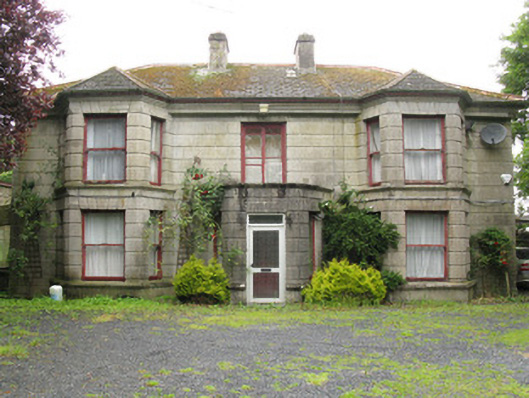 Woodfield Househouse · 986 yd
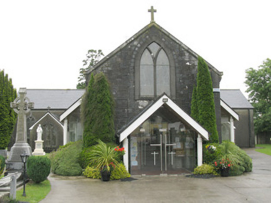 Saint Bartholomew's Catholic Churchchurch/chapel · 1062 yd
 DromcolliherSettlement cluster · 1100 yd
 National Co-op MuseumMuseum · 1291 yd
 ToberacappeenSpring · 1.2 mi
 CastleCastle, unclassified · 1.2 mi
 Castle (in ruins), Springfield CastleCastle, tower house · 1.6 mi
 ToberhoranSpring · 2.5 mi
 Mullaghareirk - Banane LoopWalking route · 6.0 mi
 Ballagh MountainMountain / peak · 6.8 mi
 Battle of LiscarrollMajor battlefield · 7.7 mi