What is recorded here
Fairy forts are not for entry. They belong to the unseen, and the warning stands even when the ditch has vanished.
Bowman (1934, 49) recorded levelled single-ramparted fort (diam. c. 30yd) on E. Finn's land. Exact location not known. May be possible ringfort (CO024-081---) shown as part of Two Gneeves townland on 1842 OS 6-inch map.
The above description is derived from the published 'Archaeological Inventory of County Cork. Volume 4: North Cork' (Dublin: Stationery Office, 2000). In certain instances the entries have been revised and updated in the light of recent research.
Date of upload/revision: 14 January 2009
The monument record does not grant public access. Check the route and ask the landowner before entering private land.
- What survives
- Recorded monument
Places near here
 Pump HoPump-house · 405 yd
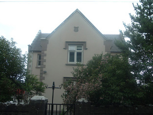 schoolschool · 695 yd
 Enclosure in CastlemagnerEnclosure · 808 yd
 Field system in CastlemagnerField system · 856 yd
 Graveyard in Ballygiblin (duhallow By.)Graveyard · 976 yd
 Castle Magner (in Ruins)Bawn · 1310 yd
 European YewEuropean Yew · 1.2 mi
 CastleCastle, unclassified · 1.3 mi
 Burial ground in AssolasBurial ground · 1.4 mi
 St Fursey's WellSpring · 3.7 mi
 Kanturk CastleHeritage attraction · 4.0 mi
 Hanna SheehyMemorial · 4.2 mi