What is recorded here
Located towards the bottom of the E-facing spine of a N-S drumlin ridge. A circular enclosure at Tullymackilmartin is depicted on McCrea’s map of Co. Monaghan (1793) in this area but the precise location is uncertain. No archaeological feature is visible at ground level in pasture.
The above description is derived from the published 'Archaeological Inventory of County Monaghan' (Dublin: Stationery Office, 1986). In certain instances the entries have been revised and updated in the light of recent research.
Date of revision: 8 December 2017
The monument record does not grant public access. Check the route and ask the landowner before entering private land.
- What survives
- Recorded monument
Places near here
 Donaghmoyne Post Officehouse · 236 yd
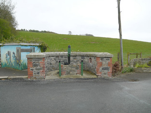 water pumpwater pump · 255 yd
 IndicatedFairy fort / earthen ringfort · 580 yd
 Mannan Castle (in ruins)Castle, Anglo-Norman masonry castle · 817 yd
 Enclosure in DonaghmoyneEnclosure · 1465 yd
 TobernagalliaghSpring · 1.5 mi
 Horse-chestnutHorse-chestnut · 2.9 mi
 KnockreaghMountain / peak · 3.4 mi
 European BeechEuropean Beech · 3.7 mi
 Fincarn HillMountain / peak · 4.4 mi
 Gully IslandIslet · 5.0 mi
 Rock IslandIslet · 5.3 mi