What is recorded here
Fairy forts in Clare are called raths, ancient earthen rings where people lived or kept livestock before written memory. Tullabrack bears one such marker, a humble mound still visible enough to be recorded. The fairies may have taken the story, but the soil kept the shape.
The Archaeological Survey of Ireland (ASI) is in the process of providing information on all monuments on The Historic Environment Viewer (HEV). Currently the information for this record has not been uploaded. To access available information for research purposes please make an appointment in advance with the Archive Unit (open Fridays 10.00 am – 5.00 pm), Department of Housing, Local Government and Heritage, The Custom House, Dublin 1 D01W6XO or email NMarchive@housing.gov.ie.
The monument record does not grant public access. Check the route and ask the landowner before entering private land.
- What survives
- Recorded monument
Places near here
 Enclosure in Tullabrack EastEnclosure · 1.0 mi
 Cloonalougha FortFairy fort / earthen ringfort · 1.0 mi
 IndicatedCastle, unclassified · 1.7 mi
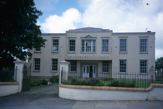 An Cheard Scoil Cillruisschool · 2.5 mi
 The Museum of Irish Rural LifeMuseum · 2.5 mi
 St. Senan's WellSpring · 2.6 mi
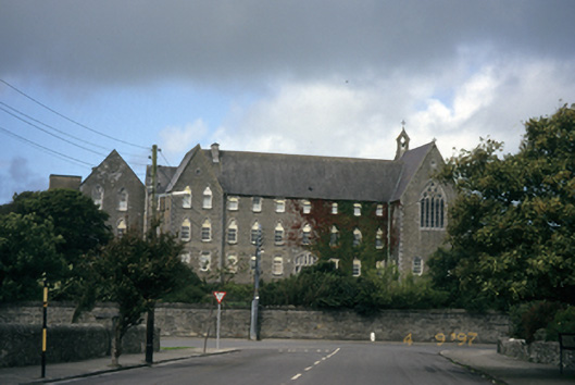 Saint Mary's Conventconvent/nunnery · 2.7 mi
 Vandeleur Walled GardenHeritage attraction · 2.8 mi
 St Senan's WellSpring · 4.2 mi
 Doonbeg Castle (in Ruins)Castle, tower house · 4.3 mi
 Mall PointHeadland · 4.4 mi
 Scattery Island Visitor CentreVisitor information · 4.7 mi