What is recorded here
Quarrying bit into the west side and turned the ring into a D, but the earthen bank still curves through pasture at the south end of a narrow ridge. It is small enough to walk across in a minute, yet old enough to have watched fields change from fence to grass to survey line. The missing entrance and scattered stones suggest people lived, worked and forgot here before the fort became a fairy story.
At the S end of a low narrow N-S ridge in pasture with ground falling away gently to E, S and W. Listed as ‘Enclosure’ in the SMR (1992) and the RMP (1996). Hachured on the 1915 ed. of the OS 6-inch maps.
A very poorly preserved ringfort, now D-shaped in plan (int. dims. 26.2m E–W; 19.7m N–S) due to quarrying at W. It is defined by a low, grass-covered, earthen bank (Wth 4.4–7.1m; ext. H 0.3–0.8m; int. H 0.1–0.5m) from NNW to SSW, with possible inner facing-stones at NE, and elsewhere by a low scarp (H 1.3m). Stones cleared from the surrounding field are dumped on the enclosing bank at N. The interior is level and under pasture and there is no obvious trace of an original entrance.
Compiled by: Mary Tunney and Ros Ó Maoldúin
Date of upload: 30 September 2021
The monument record does not grant public access. Check the route and ask the landowner before entering private land.
- What survives
- Recorded monument
Places near here
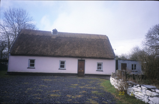 Tulla Parkfarm house · 206 yd
 IndicatedChurch · 387 yd
 ToberacollureHoly well · 462 yd
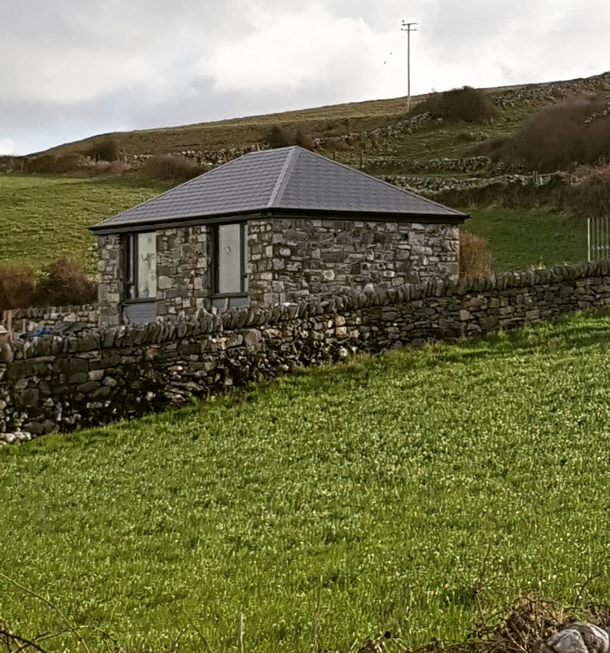 Enclosure in CushacorraEnclosure · 479 yd
 Cloonselherny Castle (in ruins)Castle, tower house · 2.1 mi
 Grave of Saint Mac Duagh's ServantArchaeological place · 2.2 mi
 Castle in ruinsCastle, unclassified · 2.6 mi
 Kilnaloone GraveyardArchaeological place · 2.8 mi
 Kilmacduagh Monastic SiteVisitor information · 2.9 mi
 Kilmacduagh MonasteryHeritage attraction · 2.9 mi
 Coole-Garryland Nature ReserveNature reserve · 4.1 mi
 Slieve RoeMountain / peak · 4.3 mi