What is recorded here
Situated on a broad level terrace, on S-facing lower slopes of Kings Mountain, in pasture. Raised circular area (diam. 35m) enclosed by a low broad bank of earth (Wth 5.6m; int. H 0.3m). There is no fosse visible at ground level. From SE-NE the bank is absent and the site is enclosed by a scarp (ext. H 0.4m). The original entrance is not recognisable.
Compiled by: Patrick F. O'Donovan
Date of upload: 21 April 2011
The monument record does not grant public access. Check the route and ask the landowner before entering private land.
- What survives
- Recorded monument
Places near here
 Glencar Lough ViewpointViewpoint · 1385 yd
 Gleniff Barytes MineRuins · 1707 yd
 IndicatedFairy fort / earthen ringfort · 1.0 mi
 Noble 6 MonumentMonument · 1.5 mi
 Copes MountainMountain / peak · 1.6 mi
 Glencar WaterfallVisitor information · 1.7 mi
 Annacoona TopMountain / peak · 1.7 mi
 Glencar IslandIslet · 1.7 mi
 Doneen WestCliff · 1.9 mi
 Memorial Francis FinnMemorial · 2.0 mi
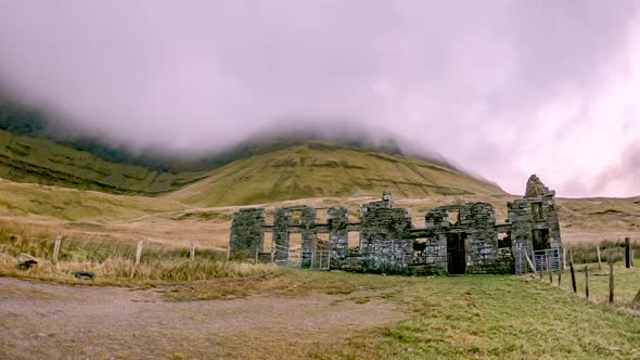 Gleniff School RuinsRuins · 2.1 mi
 Dermot & Grania's BedCave · 2.2 mi