What is recorded here
You can walk past a fairy fort in Tonaghbane and see only grass. That is not nothing. The land has already recorded the shape, kept the name and waited for human eyes to become sharp enough. What is hidden is not absent. It is testing whether you know the difference between emptiness and patience.
Marked 'Fort' on OS 1836 and 1876 eds. Situated on a prominent hillock. Not visible at ground level.
The above description is derived from the published 'Archaeological Inventory of County Cavan' (Dublin: Stationery Office, 1995). In certain instances the entries have been revised and updated in the light of recent research.
Date of upload/revision: 22 December 2008
A fairy fort or earthen ringfort in Tonaghbane is a likely early-medieval defensive or domestic site, characterized by its position on a prominent hillock. Though not visible at ground level, it was marked as a 'Fort' on early Ordnance Survey maps and is associated with local folklore surrounding fairy activity and otherworldly beings.
The monument record does not grant public access. Check the route and ask the landowner before entering private land.
- What survives
- Recorded monument
Places near here
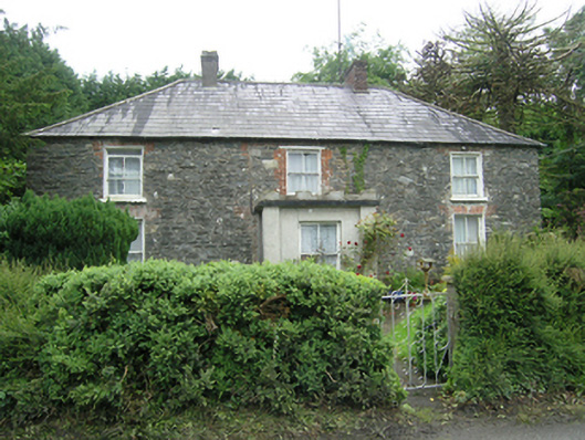 Mountain Viewhouse · 561 yd
 Drummury FortArchaeological place · 661 yd
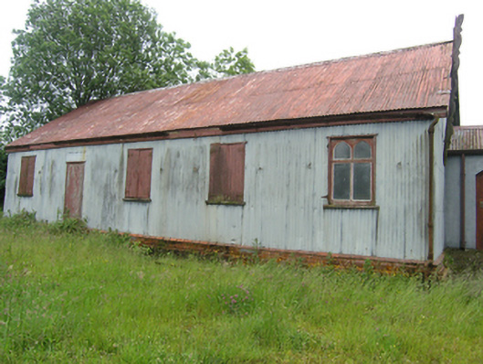 Tonaghbane Parochial Hallchurch hall/parish hall · 707 yd
 CorickMountain / peak · 1039 yd
 Church WoodForest · 1121 yd
 Bawn in DrumsheilBawn · 1192 yd
 Ashfield DemesneForest · 1302 yd
 IndicatedFairy fort / earthen ringfort · 1568 yd
 Brown's HillMountain / peak · 1683 yd
 Site of Old CastleCastle, unclassified · 1.3 mi
 Giant's GraveArchaeological place · 2.6 mi
 Graveyard in Drumgoon (clankee By.)Graveyard · 4.4 mi