What is recorded here
Fairy fort in Tinnakilla, County Limerick: a 36-metre earthen ring in low marshy pasture, its bank 1.5 metres high outside and still standing after centuries of fields being drawn across it. The fosse runs north to west, elsewhere buried under boundary ridges, but a stone-edged causeway still crosses at the east-north-east, pointing to an entrance that never matched the gap in the bank. The centre slopes downward into rough ground, as if the ring were not a house but a mouth, taking water, shadow and forgotten foot traffic instead of giving them back.
In low-lying area of mixed pasture and marshland. Circular area (35.2m N-S; 36m E-W) enclosed by earthen bank (int. H 0.8m; ext. H 1.5m), with external fosse (D 0.6m; Wth 1.45m) N->W. Elsewhere fosse is overlain by field boundary. Enclosing element is overgrown with trees and bushes. Causeway, edged with stones, crosses fosse at ENE but there is no corresponding break in bank. Interior surface is under rough marshy pasture and slopes down towards centre.
Compiled by: Denis Power
Date of upload: 26 August 2011
The monument record does not grant public access. Check the route and ask the landowner before entering private land.
- What survives
- Recorded monument
Places near here
 Kyle Burial GroundBurial ground · 1039 yd
 Scoil Naomh Mhuireschool · 1095 yd
 TobercloonaghSpring · 1115 yd
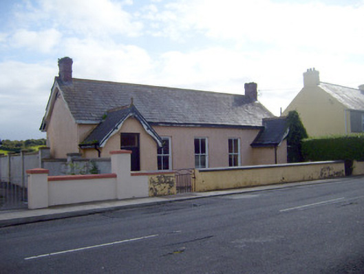 Ballyhahill Carnegie Librarylibrary/archive · 1481 yd
 Cliff-edge fort in MohernaghCliff-edge fort · 1.1 mi
 Prospect HillMountain / peak · 1.7 mi
 Castle (Site of)Castle, unclassified · 2.9 mi
 Loghill HoCastle, unclassified · 3.2 mi
 Mountshannon PointHeadland · 4.1 mi
 Mountshannon WoodWood · 4.1 mi
 Monterey CypressMonterey Cypress · 4.3 mi
 Killanna PointHeadland · 4.7 mi