What is recorded here
Marianne said the fort was built by fairy hands because no human would waste good land on a circle with no house. She died before winter, leaving behind a woman strong enough to face any room and clever enough to leave it empty when it belonged elsewhere.
In pasture, on natural rise. Roughly circular area (31m N-S; 32m E-W) enclosed by earth and stone bank (H 1.5m); second bank (H 1.2m) W->E. Banks separated by shallow fosse. Inner bank broken to NE (Wth 5.2m) and SE (Wth 2m), latter stone lined. Disused laneway (Wth 2.5m) cuts E-W across S half of interior.
The above description is derived from the published 'Archaeological Inventory of County Cork. Volume 1: West Cork' (Dublin: Stationery Office, 1992). In certain instances the entries have been revised and updated in the light of recent research.
Date of upload/revision: 14 January 2009
The monument record does not grant public access. Check the route and ask the landowner before entering private land.
- What survives
- Recorded monument
Places near here
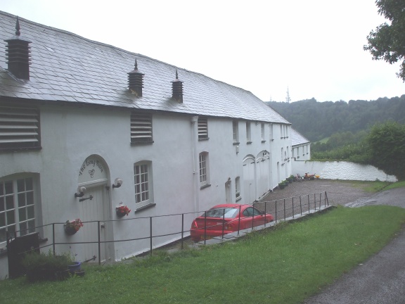 Fulacht fia in ThornhillFulacht fia · 472 yd
 Childrens Bur Gd (Disused)Burial ground · 647 yd
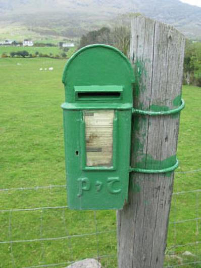 post boxpost box · 912 yd
 Holly HillMountain / peak · 1.1 mi
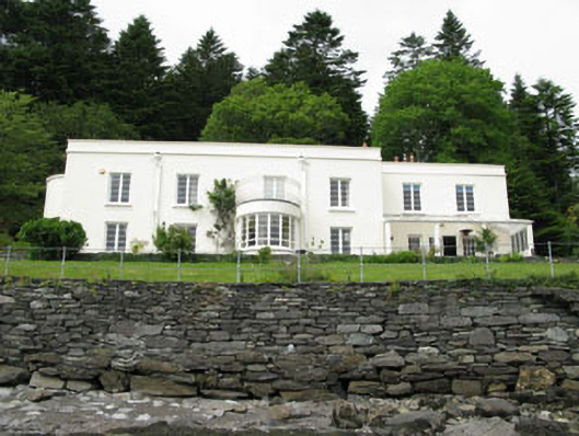 Waterfall Househouse · 1.3 mi
 TrawnablahaBeach / strand · 1.3 mi
 Turk IslandIslet · 1.6 mi
 Rerrin LoopWalking route · 1.7 mi
 Hungry HillMountain / peak · 1.9 mi
 Loughure IslandIslet · 2.5 mi
 Mare's Tail WaterfallViewpoint · 2.6 mi
 Beara WayWalking route · 3.9 mi