What is recorded here
Yes. Fairy fort / earthen ringfort in Teernaboul is a rural landmark in County Kerry, Ireland.
In pasture, on a SE-facing slope, on the W bank of the Woodford River. A circular area (33m N-S; 32m E-W) defined by an earthen bank (Wth 6.7m; int. H 0.9m; ext. H 1.6m), with deciduous trees on top, SW-SE and by an eroded scarp (Wth 4m; H 2.2m) SSE-SW. Traces of an external fosse (Wth 2.6m; D 0.4m), largely covered with overgrowth, are evident SSE-NNE. Stone facing is evident on its internal face ENE-SE. The interior, which is under pasture, slopes gently down to the SE where it is raised (H 2.2m) to compensate for the hillslope. There is a hut site (KE067-015001-) in the N portion of the interior.
Compiled by: Elizabeth Byrne, Ursula Egan and Sheila Ronan, Archaeological Survey Unit, University College, Cork.
Date of upload: 31 January 2011
The monument record does not grant public access. Check the route and ask the landowner before entering private land.
- What survives
- Recorded monument
Places near here
 Mass RockNamed rock · 657 yd
 Lissivigeen Stone CircleHeritage attraction · 906 yd
 Enclosure in ParkEnclosure · 1320 yd
 Woodfordhouse · 1426 yd
 IndicatedFairy fort / earthen ringfort · 1.0 mi
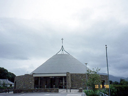 Catholic Church of the Resurrectionchurch/chapel · 1.3 mi
 Sheheree Bog Nature ReserveNature reserve · 2.0 mi
 Killarney First World War MemorialMemorial · 2.1 mi
 Jaunting ToursHeritage attraction · 2.1 mi
 Kerry 2nd Brigade of the Irish Republican ArmyMemorial · 2.2 mi
 GinkgoGinkgo · 2.3 mi
 McCarthy Mor CastleCastle · 2.6 mi