
What is recorded here
In pasture, with restricted views due to nearby forestry. A slightly raised circular area (c. 30m N-S; c. 30m E-W) defined by a low scarp. The cropmark of a circular enclosure (diam. c. 35m) is visible on an aerial photograph (OSAP, 2120/2121) taken in 1989. A standing stone (KE067-011001-) is located on the perimeter of the rath, at NE.
Compiled by: Elizabeth Byrne, Ursula Egan and Sheila Ronan, Archaeological Survey Unit, University College, Cork.
Date of upload: 31 January 2011
A local fairy fort (ringfort/rath); wider significance not recorded.
The monument record does not grant public access. Check the route and ask the landowner before entering private land.
- What survives
- Recorded monument
Places near here
 IndicatedFairy fort / earthen ringfort · 806 yd
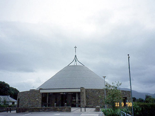 Catholic Church of the Resurrectionchurch/chapel · 1038 yd
 Mass RockNamed rock · 1075 yd
 Woodfordhouse · 1322 yd
 Lissivigeen Stone CircleHeritage attraction · 1323 yd
 Enclosure in Deerpark (magunihy By.)Enclosure · 1613 yd
 Flesk CastleCastle · 1668 yd
 Killarney First World War MemorialMemorial · 1.3 mi
 Jaunting ToursHeritage attraction · 1.4 mi
 Kerry 2nd Brigade of the Irish Republican ArmyMemorial · 1.4 mi
 GinkgoGinkgo · 1.5 mi
 The WildernessForest · 1.7 mi
Other information
Photo: Credit not shown in the picture search · Rights wording not checked; contact us if this picture should be removed