
What is recorded here
In pasture. An oval enclosure (dims. c. 40m x c. 30m) is visible as a shadow site in an aerial photograph (OSAP, 2119-20). It is not visible at ground level. Remnants of a possible network of field walls (KE066-106002-) are c. 300m to the NW.
Compiled by: Elizabeth Byrne, Ursula Egan and Sheila Ronan, Archaeological Survey Unit, University College, Cork.
Date of upload: 31 January 2011
The monument record does not grant public access. Check the route and ask the landowner before entering private land.
- What survives
- Recorded monument
Places near here
 Field boundary in Deerpark (magunihy By.)Field boundary · 280 yd
 Enclosure in ParkEnclosure · 757 yd
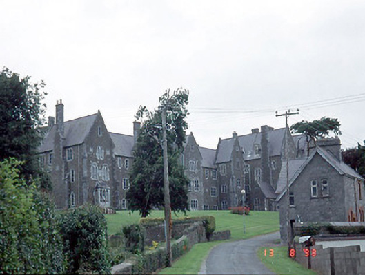 Saint Finan's Hospitalhospital/infirmary · 1036 yd
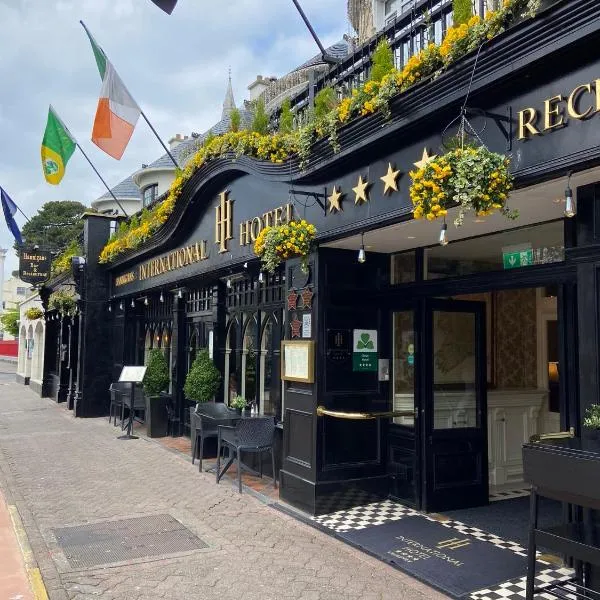 Coolcorcoran BridgeBridge · 1068 yd
 Kerry 2nd Brigade of the Irish Republican ArmyMemorial · 1301 yd
 GinkgoGinkgo · 1352 yd
 Famine MemorialMemorial · 1390 yd
 Jaunting ToursHeritage attraction · 1603 yd
 Giant SequoiaGiant Sequoia · 1.1 mi
 Circular WalkWalking route · 1.5 mi
 Flesk CastleCastle · 1.5 mi
 Mass RockNamed rock · 1.5 mi
Other information
Photo: Credit not shown in the picture search · Rights wording not checked; contact us if this picture should be removed