What is recorded here
That is a fairy fort in Teernaboul, County Kerry. It is an earthen ringfort beside the Woodford River. The earth still stands where people shaped it long ago.
In pasture, on the edge of a sharp fall of ground down to the valley of the Woodford River. The E portion of the rath is truncated by a N-S field boundary. The interior (diam. 28m N-S; dim. 18m E-W) is defined by a scarp (H 0.45m) along the S and W arcs and by a partially levelled grass-covered bank (Wth 13m; int. H 0.47m; ext. H 0.98m) along the N arc. Darker soil noted at the base of the scarp may be evidence for a fosse. The interior slopes gently down to the E. The rath is indicated as a circular enclosure (diam. c. 30m) on the 1846 OS 6-inch map. On the 1893-4 OS 6-inch map it is indicated as a circular raised area (diam. c. 25m) with the E arc incorporated into the field boundary system. Two pits (KE067-121----, KE067-121001-) lie c. 150m to the NW.
Compiled by: Elizabeth Byrne, Ursula Egan and Sheila Ronan, Archaeological Survey Unit, University College, Cork.
Date of upload: 31 January 2011
The monument record does not grant public access. Check the route and ask the landowner before entering private land.
- What survives
- Recorded monument
Places near here
 Mass RockNamed rock · 252 yd
 Lissivigeen Stone CircleHeritage attraction · 574 yd
 Enclosure in ParkEnclosure · 857 yd
 Woodfordhouse · 913 yd
 IndicatedFairy fort / earthen ringfort · 1559 yd
 Flesk CastleCastle · 1666 yd
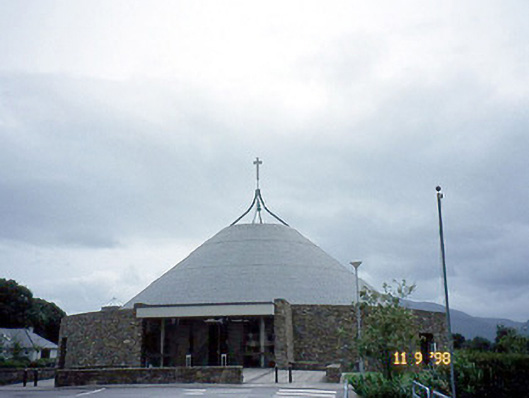 Catholic Church of the Resurrectionchurch/chapel · 1679 yd
 Sheheree Bog Nature ReserveNature reserve · 1.7 mi
 Killarney First World War MemorialMemorial · 1.8 mi
 Jaunting ToursHeritage attraction · 1.8 mi
 Kerry 2nd Brigade of the Irish Republican ArmyMemorial · 1.9 mi
 GinkgoGinkgo · 2.0 mi