What is recorded here
Fairy fort in Teeranassig, County Cork. Circular earthworks, 36 metres across, with an eight-metre gap facing the stream valley. People may have lived there, or excluded others from a place the land already marked. The gap does not read like failure; it reads like an invitation into the valley, leaving the rest enclosed against weather and witness.
In pasture, on break in SW-facing slope, looking over stream valley to Gortnalour Hill. Circular area (36m E-W; 34m N-S) enclosed by earthen bank(int. H 2.4m; ext. H 3m) ENE->SSW; loose stones and boulders atop low earthen bank WSW->NE; low rise NE->ENE. Break (Wth 8m) in bank to SW.
The above description is derived from the published 'Archaeological Inventory of County Cork. Volume 3: Mid Cork' (Dublin: Stationery Office, 1997). In certain instances the entries have been revised and updated in the light of recent research.
Date of upload/revision: 14 January 2009
The monument record does not grant public access. Check the route and ask the landowner before entering private land.
- What survives
- Recorded monument
Places near here
 Killeen Burial Gd (Disused)Burial ground · 242 yd
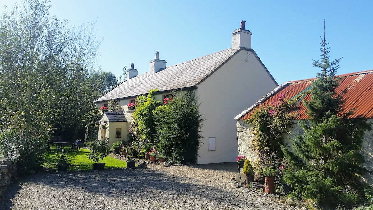 LismangeruFairy fort / earthen ringfort · 1749 yd
 CastlemastersCountry house · 1.3 mi
 Carrignacurra CastleCastle · 1.4 mi
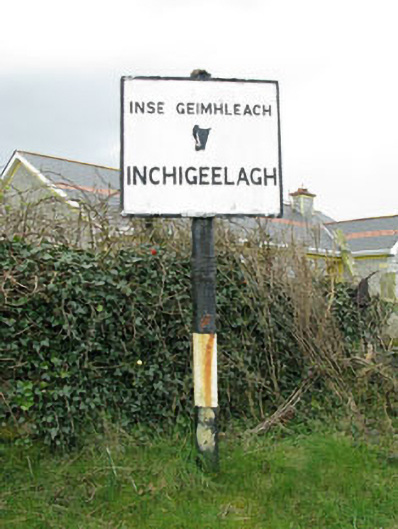 sign postsign post · 1.7 mi
 Kilmichael Ambush SiteMonument · 1.8 mi
 Kilmichael Ambushambush · 1.8 mi
 Castle (Site of)Castle, unclassified · 1.8 mi
 Port Ban Nature Reserve, Irish Wildlife TrustNature reserve · 3.2 mi
 Gortnahoughtee Mass RockNamed rock · 3.9 mi
 Mount ProspectMountain / peak · 4.7 mi
 The Gearagh Nature ReserveNature reserve · 4.9 mi