What is recorded here
Located at the SE end of a fairly low NW-SE drumlin ridge. This is a subcircular grass and scrub-covered area (dims 33m WNW-ESE: 28.8m NNE-SSW) defined by an earthen bank (at E: Wth 4.5m; int. H 0.2m; ext. H 1.6m), with slight traces of an outer fosse NNE-ESE. The interior is divided by a NNE-SSW field bank a little W of the centre, and an E-W field bank truncates the perimeter slightly at S. A slight dip in the perimeter at WNW may indicate the location of the original entrance.
The above description is derived from the published 'Archaeological Inventory of County Monaghan' (Dublin: Stationery Office, 1986). In certain instances the entries have been revised and updated in the light of recent research.
Date of revision: 6 December 2017
The monument record does not grant public access. Check the route and ask the landowner before entering private land.
- What survives
- Recorded monument
Places near here
 Saint Patrick's Catholic Churchchurch/chapel · 372 yd
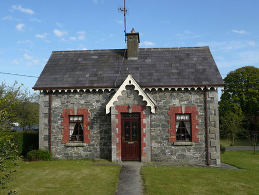 worker's houseworker's house · 407 yd
 IndicatedFairy fort / earthen ringfort · 675 yd
 Embanked enclosureFairy fort / earthen ringfort · 1.0 mi
 KnockreaghMountain / peak · 1.1 mi
 Fincarn HillMountain / peak · 2.1 mi
 TobernagalliaghSpring · 2.5 mi
 Whites IslandIslet · 3.0 mi
 Mannan Castle (in ruins)Castle, Anglo-Norman masonry castle · 3.1 mi
 Gully IslandIslet · 3.5 mi
 Lough MucknoLake and park landscape · 4.4 mi
 Bawn in OnomyBawn · 4.6 mi