What is recorded here
Situated on a low rise in undulating pasture. Annotated ‘Fort’ on the 1837 OS Fair Plan map and depicted as an almost subtriangular-shaped earthwork delimited by a scarp. Depicted on the 1837 ed. OS 6-inch map as a large oval-shaped earthwork. Monument shown as a grove of trees on the revised 1913 ed. OS 25-inch map. Monument described in 1983 as no surface remains visible. The site where it is marked in pencil on the OPW field map is a large, shallow roughly circular depression. Outline of levelled monument is visible today as a cropmark bisected by a field boundary running NNE-SSW on Digital Globe aerial photography.
Compiled by Alison McQueen, Vera Rahilly and Caimin O’Brien.
Date of upload: 02 October 2019
The monument record does not grant public access. Check the route and ask the landowner before entering private land.
- What survives
- Recorded monument
Places near here
 The Old Househouse · 351 yd
 Saint Nicholas's Church (Moylisker)church/chapel · 431 yd
 OutlinedFairy fort / earthen ringfort · 788 yd
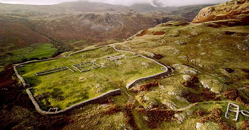 Hachured, Whelans FortFairy fort / earthen ringfort · 867 yd
 Belvedere house and gardensVisitor information · 1478 yd
 Mollie Moo's Pet FarmHeritage attraction · 1549 yd
 Castle in RuinsCastle, tower house · 1552 yd
 Bawn in Simonstown (fartullagh By.)Bawn · 1.5 mi
 Blind IslandIslet · 1.6 mi
 Dysart IslandIsland · 2.6 mi
 United Nations War MemorialMemorial · 4.6 mi
 WestmeathVisitor information · 6.5 mi