What is recorded here
Stripe holds a subcircular rath thirty-seven metres across, its earth and stone bank quarried from the south and west to raise a boundary against the low grassland. The southeast gap may be original, inviting entry rather than marking collapse. People likely lived inside this shallow circle, watching the slope and sharing the land with the fairies local tradition still names.
On a S-facing slope in low-lying grassland. Subcircular rath (N-S 37.5m, E-W 35.5m), in fair condition, defined by a bank of earth and stone, quarried out from S to W. A gap at SE may be original.
The above description is derived from the published 'Archaeological Inventory of County Galway Vol. II - North Galway'. Compiled by Olive Alcock, Kathy de hÓra and Paul Gosling (Dublin: Stationery Office, 1999).
Date of upload: 05 August 2010
The monument record does not grant public access. Check the route and ask the landowner before entering private land.
- What survives
- Recorded monument
Places near here
 Knockavanny Housedemesne walls/gates/railings · 362 yd
 Country house in Birmingham DemesneCountry house · 1549 yd
 Castle (in ruins)Castle, tower house · 1603 yd
 MonumentLeacht cuimhne · 1684 yd
 Man-made underground passage in Cartron (carrowrevagh Ed )Man-made underground passage · 1.1 mi
 CastleCastle, unclassified · 3.0 mi
 European ashEuropean ash · 4.7 mi
 Mass RockNamed rock · 6.3 mi
 KnockmaaWood · 8.2 mi
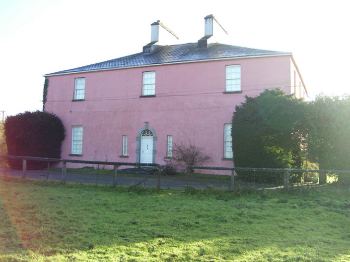 Birmingham Househouse · 1552 yd
 Enclosure in BracklaghEnclosure · 1.1 mi
 Saint Patrick's Catholic Churchchurch/chapel · 1.2 mi