What is recorded here
Thirty-five metres across and still standing, the Stramaquerty ringfort is a low earthen bank with a stone-faced edge and a buried ditch. The entrance has vanished under soil and time, but the circle remains clear enough to walk inside. It is the kind of place where ordinary fields admit they are not empty, where a fort becomes a fairy fort because the shape refuses to explain itself.
Raised circular area (int. diam. c. 35m) enclosed by a wide, low earthen bank, stone-faced in part externally, and a fosse which has been infilled from SE-S and recut and incorporated into the field boundary from S-W-N. Original entrance not recognisable.
The above description is derived from the published 'Archaeological Inventory of County Cavan' (Dublin: Stationery Office, 1995). In certain instances the entries have been revised and updated in the light of recent research.
Date of upload/revision: 22 December 2008
The monument record does not grant public access. Check the route and ask the landowner before entering private land.
- What survives
- Recorded monument
Places near here
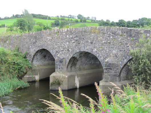 Stramaquerty Bridgebridge · 647 yd
 Doon Wet WoodlandWood · 1091 yd
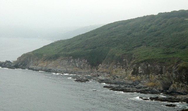 Black RockMountain / peak · 1275 yd
 Carraig-na-SasanacNamed rock · 1288 yd
 Tober UltanHoly well · 1357 yd
 The Big Man's GraveArchaeological place · 1508 yd
 Church (in Ruins)Church · 1581 yd
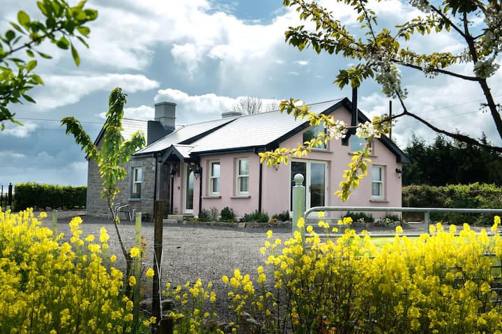 Lisgrea WoodlandWood · 1.2 mi
 Cross in CorratinnerCross · 1.2 mi
 Beagh GlebeMountain / peak · 1.6 mi
 Birthplace of General Philip SheridanMemorial · 1.8 mi
 Welcome to VirginiaVisitor information · 2.8 mi