What is recorded here
Fairy fort in Sleehaun, County Longford: a 43m earthen ring on a low pasture rise, partly levelled but still marking a deliberate circle. People may have lived, hidden or gathered there before ploughs and boots smoothed most of it; the remaining scarp still resists forgetting.
On a low rise in pasture. A raised circular area (diam. c. 43m) defined from SSE-S-N by a scarp (H 0.2-1.25m). Elsewhere the enclosing element and most of the interior have been levelled. There is no trace of a fosse and the original entrance is not recognisable.
Compiled by: Patrick F. O'Donovan
Date of upload: 26 August 2011
This remains an important historical record, but the official description says the monument is no longer visible or has been destroyed. The monument record does not grant public access. Check the route and ask the landowner before entering private land.
- What survives
- No visible remains or recorded as destroyed
Places near here
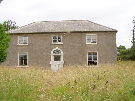 Treel Housemill manager's house · 1064 yd
 Pedunculate OakPedunculate Oak · 1110 yd
 G. Yd.Graveyard · 1163 yd
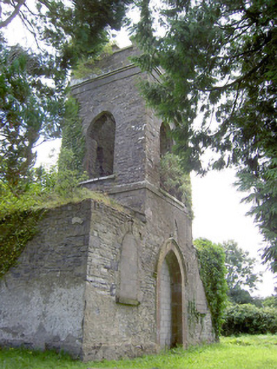 Saint Anne's Church (Kilglass)church/chapel · 1247 yd
 Ecclesiastical enclosure in Killeen (ardagh By.)Ecclesiastical enclosure · 1305 yd
 Common AlderCommon Alder · 1.2 mi
 Fort, MoataphucaCastle, motte · 1.7 mi
 MoatCastle, motte · 2.5 mi
 Abbeyshrule AbbeyRuins · 3.8 mi
 Edgeworthstown BypassMemorial · 4.2 mi
 Goldsmith Birthplace, PallasVisitor information · 5.4 mi
 Newcastle WoodsForest · 5.9 mi