What is recorded here
Located on top of an E-W drumlin ridge in a coniferous forest. This is a subcircular grass-covered area (dims 28m NW-SE; 25m NE-SW) defined by a broad scarp (H 0.5-1.3m) NNW-ENE and the remnant of a bank SSW-WNW. The perimeter is truncated at NW by a NNE-SSW field wall. No fosse or entrance was identified and it remains unplanted in a coniferous forest (Bing 2013).
The above description is derived from 'The Archaeological Inventory of County Leitrim' compiled by Michael J. Moore (Dublin: Stationery Office, 2003). In certain instances the entries have been revised and updated in the light of recent research.
Date of upload: 23 September 2008
The monument record does not grant public access. Check the route and ask the landowner before entering private land.
- What survives
- Recorded monument
Places near here
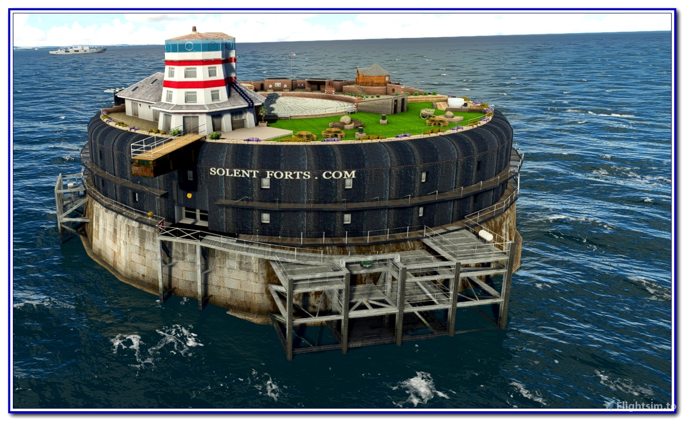 fortsFairy fort / earthen ringfort · 500 yd
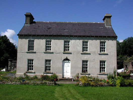 Glasdrumman Housefarm house · 1066 yd
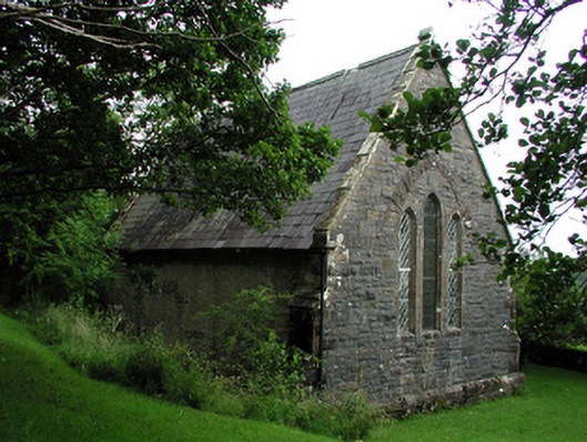 Creevelea Presbyterian Churchchurch/chapel · 1437 yd
 Tober BuayHoly well · 1.2 mi
 Drummans IslandIslet · 3.6 mi
 Black PoplarBlack Poplar · 4.4 mi
 European ashEuropean ash · 4.4 mi
 Corry ShoalIslet · 4.4 mi
 Forde's CastleCastle · 4.7 mi
 ArdlougherMountain / peak · 4.8 mi
 Seltannasaggart SE SlopeMountain / peak · 4.8 mi
 Scardan WaterfallWaterfall · 4.8 mi