What is recorded here
Mound and ditch still mark the Shancarnan fort, though age and purpose have faded from local memory. The earth may have supported a household, a boundary, or a story repeated until belief built the shape.
Situated on a fairly low but meandering N-S ridge. This is a raised circular grass and scrub-covered area (diam. c. 34m E-W; 31m NNW-SSE) that is planted in deciduous trees. It is defined by an earthen bank (Wth of base 5-5.5m; int. H 0.5-0.7m; ext. H 3-3.5m) separated by a fosse (Wth of top 8-10.5m; Wth of base 3; ext. D 1-2m) from an outer earthen bank (Wth of base 5-8m; ext. H 1.2m at NW to 2.5m at SE) that has an external stone facing (max. ext. diam. 57m NW-SE). There is an entrance through both banks and a causeway at ESE.
The above description is derived from the published 'Archaeological Inventory of County Meath' (Dublin: Stationery Office, 1987). In certain instances the entries have been revised and updated in the light of recent research.
Compiled by: Michael Moore
Date of revision: 22 February 2019
Amended: 15 December 2022
The monument record does not grant public access. Check the route and ask the landowner before entering private land.
- What survives
- Recorded monument
Places near here
 Enclosure in ShancarnanEnclosure · 477 yd
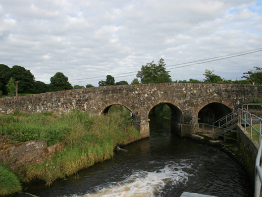 Rosehill Bridgebridge · 1205 yd
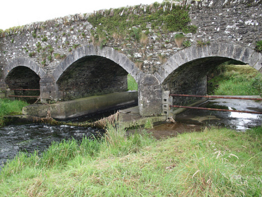 Mullagh Bridgebridge · 1299 yd
 South Mullaghmore WoodWood · 1436 yd
 Quarry WoodForest · 1650 yd
 Big RockPromontory fort, inland · 1.1 mi
 Moynalty Steam Threshing MuseumMuseum · 1.2 mi
 Castle (in Ruins)Castle, unclassified · 1.4 mi
 CastleCastle, unclassified · 1.7 mi
 UghtyneillMountain / peak · 2.1 mi
 NewtownMountain / peak · 2.5 mi
 Sally IslandIslet · 2.8 mi