What is recorded here
Situated on a low rise, in low-lying pasture. Depicted on the revised 1910 ed. OS 25-inch map as a roughly oval-shaped earthwork. Bivallate ringfort described in 1979 as a roughly circular-shaped area (diam. 30m) enclosed by an inner bank, an intervening fosse and an outer bank. The low bank is best preserved at S. There is a shallow fosse and traces of a low outer bank. The perimeter has been removed at W and N. There are no indications of an entrance. The interior has a gentle E-facing slope and no features are discernible. Monument is visible today as a tree-lined earthwork on Digital Globe aerial photography.
Compiled by Alison McQueen, Vera Rahilly and Caimin O’Brien.
Date of upload: 09 November 2019
This remains an important historical record, but the official description says the monument is no longer visible or has been destroyed. The monument record does not grant public access. Check the route and ask the landowner before entering private land.
- What survives
- No visible remains or recorded as destroyed
Places near here
 Farnaghcountry house · 577 yd
 Cloghawareschal CastleCastle, unclassified · 762 yd
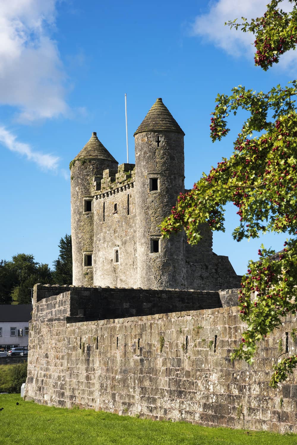 CastleCastle, tower house · 767 yd
 OutlinedFairy fort / earthen ringfort · 884 yd
 Partially indicatedFairy fort / earthen ringfort · 1156 yd
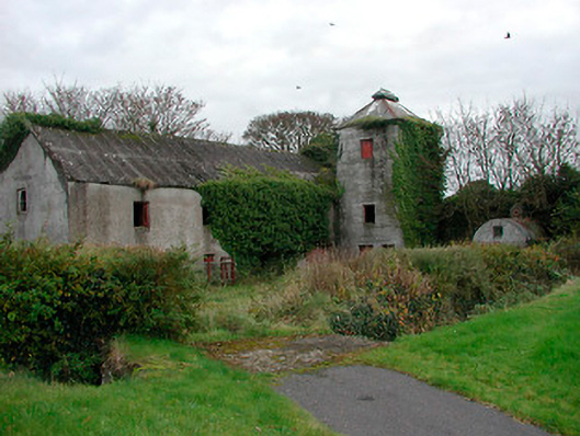 mill (water)mill (water) · 1652 yd
 Dún na SíMuseum · 1.6 mi
 Dún na Sí Heritage CentreMuseum · 1.7 mi
 Charles BianconiMemorial · 2.2 mi
 Moate HillMountain / peak · 2.3 mi
 European ashEuropean ash · 3.9 mi