What is recorded here
Fairy fort in Scarteen is an earthen ringfort on a south-facing slope, mapped as a circular enclosure in 1842 and as a rounded quadrilateral in 1938. Its low bank still marks a space perhaps fifty metres across, with a shallow ditch to the north and an uneven floor that slopes downward. Hartnett recorded traces of the original rampart outside the modern fence, and a possible underground passage lies within. The shape may have changed as fences, pasture and memory redrew it, but the earth still holds the outline of a place people made and others forgot.
In pasture, on S-facing slope. Depicted as hachured circular enclosure (diam. c. 55m) on 1842 OS 6-inch map; as hachured quadrilateral with rounded corners on 1938 OS 6-inch map. Quadrilateral area (c. 50m N-S; c. 50m E-W) enclosed by low earthen bank (int. H 0.3m; ext. H c. 1m) with shallow fosse to N. Interior surface uneven; sloping down to S; raised on S side to compensate for hillslope. Hartnett (1939, 208) recorded traces of original rampart enclosing circular area, outside modern fence which enclosed subrectangular area. Possible Man-made underground passage (CO061-066002-) in interior.
The above description is derived from the published 'Archaeological Inventory of County Cork. Volume 3: Mid Cork' (Dublin: Stationery Office, 1997). In certain instances the entries have been revised and updated in the light of recent research.
Date of upload/revision: 14 January 2009
The monument record does not grant public access. Check the route and ask the landowner before entering private land.
- What survives
- Recorded monument
Places near here
 Man-made underground passage (Site of)Man-made underground passage · 651 yd
 Fulacht FiadhFulacht fia · 1612 yd
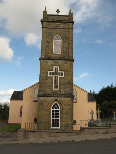 St Joesph's Roman Catholic Churchchurch/chapel · 1.3 mi
 Ballyvodane BrBridge · 1.4 mi
 Ballyvodane Castle (in Ruins)Castle, unclassified · 1.6 mi
 New TipperaryVisitor information · 2.4 mi
 Ballyanly Inniscarra Slí na SláinteWalking route · 3.1 mi
 Oldcastle WoodWood · 3.1 mi
 Saint Bartholomew's WellSpring · 3.2 mi
 Carrignamuck Tower HouseCastle · 3.3 mi
 Bob AdamsMemorial · 4.3 mi
 Coachford Greenway (End)Visitor information · 5.0 mi