What is recorded here
One hundred twenty metres west stands a stone marker, but the fort itself has vanished beneath ploughshares and time. What remains is a ghost in the soil, a circular shadow on an old map rather than a ridge in the field. The land holds the shape even when the eye cannot find it, waiting for rain or memory to reveal the boundary again.
In tillage, on E-facing slope. Shown on 1842 OS 6-inch map as circular enclosure (diam. 40m) abutting NW-SE road. Levelled; no visible surface trace. Standing stone (CO063-043---) c. 120m to W.
The above description is derived from the published 'Archaeological Inventory of County Cork. Volume 2: East and South Cork' (Dublin: Stationery Office, 1994). In certain instances the entries have been revised and updated in the light of recent research.
Date of upload/revision: 14 January 2009
The monument record does not grant public access. Check the route and ask the landowner before entering private land.
- What survives
- Recorded monument
Places near here
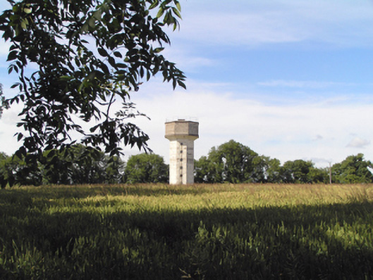 Saint Stephen's Hospitalwater tower · 223 yd
 IndicatedMill, spade mill · 942 yd
 Sarsfields Court (in Ruins)Castle, unclassified · 1009 yd
 Pit-burial in KillydonoghoePit-burial · 1228 yd
 Site of Grave YardBurial ground · 1518 yd
 Glanmire Heritage SocietyMemorial · 2.2 mi
 Old Court (Site of)Castle, unclassified · 2.5 mi
 Cork WalksVisitor information · 4.8 mi
 Lavitts QuayMemorial · 5.0 mi
 Mount Hillary - Knightfield LoopWalking route · 22 mi
 St Fursey's WellSpring · 23 mi
 European YewEuropean Yew · 24 mi