What is recorded here
In pasture, on a WNW-facing slope down to a bog c. 100m away. When inspected in 1994 it consisted of a raised circular grass-covered area (42.5m N-S; 41.5m E-W) defined by a scarp (H 1.2m). An external flat-bottomed fosse (Wth 6m; D 0.1m) was evident SE-NE. An outer earthen bank (Wth 3.5m; int. H 0.8m; ext. H 0.7m) was evident NW-NNE.
The above description is derived from the published 'Archaeological Inventory of County Sligo' compiled by Ursula Egan, Elizabeth Byrne, Mary Sleeman with Sheila Ronan and Connie Murphy (Dublin Stationery Office, 2005).
Date of revision: 22 April 2010
The monument record does not grant public access. Check the route and ask the landowner before entering private land.
- What survives
- Recorded monument
Places near here
 TobernacullyHoly well · 590 yd
 Man-made underground passage in BunnacranaghMan-made underground passage · 927 yd
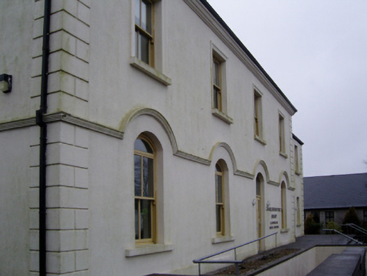 Charlestown Town Hall Arts Centretown/county hall · 1.0 mi
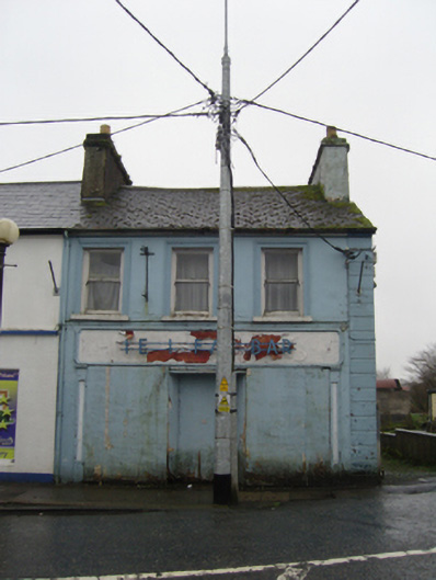 The Ideal Barhouse · 1.0 mi
 Old Cave Burial GroundArchaeological place · 4.3 mi
 Castle (Site of)Castle, unclassified · 4.9 mi
 Procession Of The SoulsMemorial · 6.6 mi
 Brabazon WoodsForest · 6.7 mi
 Castle (in Ruins)Castle, tower house · 6.9 mi
 HawthornHawthorn · 7.5 mi
 Bockagh HillMountain / peak · 8.1 mi
 East Mayo Brigade MonumentMemorial · 8.5 mi