What is recorded here
Fairy fort in Roxborough, County Galway: a shallow earthen ring, thirty metres across, half-swallowed by grass on a north-facing slope. A rectangular shadow lies behind it, perhaps a kitchen or byroom for whoever lived inside. The names transform what they touch.
On a gentle N-facing slope in pastureland. Poorly preserved subcircular rath (33m E-W; 30m N-S) defined by a grassed-over bank of earth and stone (Wth 3m; int. H 0.4m; ext. H 0.3m). A gap (Wth 3m) at ENE may be original. Traces of a rectangular enclosure (12m E-W; 9m N-S) defined by a low bank, abutting the monument at S, may be an associated annexe.
Compiled by: Galway Archaeological Survey, UCG
Date of upload: 11 April 2018
The monument record does not grant public access. Check the route and ask the landowner before entering private land.
- What survives
- Recorded monument
Places near here
 Man-made underground passage in BallymullenMan-made underground passage · 803 yd
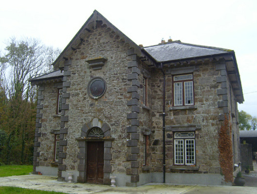 Roxboroughsteward's house · 893 yd
 Bawn in Deerpark (kilchreest Ed)Bawn · 969 yd
 Enclosure in BallygunneenEnclosure · 1104 yd
 Church in CastleboyChurch · 1626 yd
 Bawn in Cloghaun (loughrea By.)Bawn · 1.0 mi
 Scalpeen RockNamed rock · 3.7 mi
 KnockapollboyMountain / peak · 4.1 mi
 Ash IslandIslet · 4.5 mi
 Blake's IslandIslet · 4.6 mi
 HawthornHawthorn · 5.8 mi
 European ashEuropean ash · 5.8 mi