What is recorded here
Fairy forts are human places misnamed by fear or wonder. This is a small earthen ring in open countryside: a circular area about 45.7m across, still marked by a bank and the ghost of a ditch. People may have lived, hidden, herded or worshipped there before the name changed. The measurement does not make it less strange; it makes the strangeness easier to picture.
In undulating countryside. A circular area (d. c. 45.7m) defined by an earthen bank (Wth c. 2.4m, int. H c. 1.2m, ext. H c. 0.9m) and slight remains of an external fosse. Possible original entrance at E.
The above description is derived from the published 'Archaeological Inventory of County Laois' (Dublin Stationery Office, 1995) compiled by P. David Sweetman, Olive Alcock and Bernie Moran. In certain instances the entries have been revised and updated in the light of recent research.
Date of upload: 17 December 2007
The monument record does not grant public access. Check the route and ask the landowner before entering private land.
- What survives
- Recorded monument
Places near here
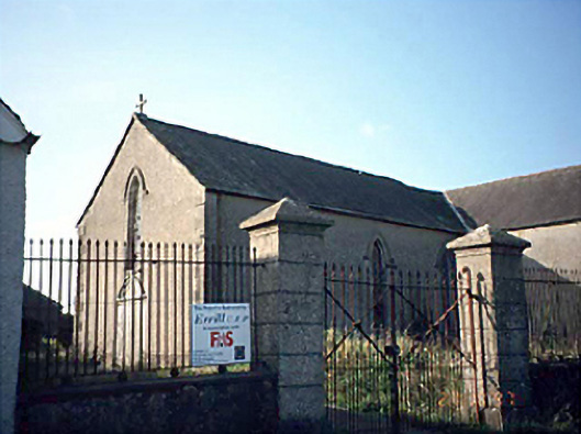 Saint Columba's Catholic Churchchurch/chapel · 1078 yd
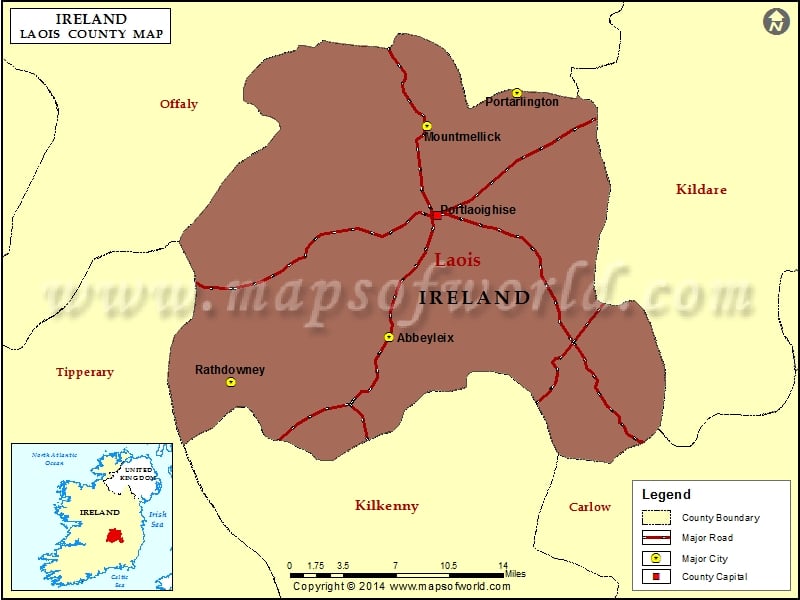 IndicatedChurch · 1284 yd
 Enclosure in LyrogeEnclosure · 1.0 mi
 Enclosure in Johnstown GlebeEnclosure · 1.2 mi
 CastleCastle, unclassified · 1.2 mi
 Bawn in Castlefleming Stubber,garrisonBawn · 1.4 mi
 Clonmeen WoodWood · 3.5 mi
 Carricknasrock WoodWood · 4.8 mi
 Cnoc SeanrathaMemorial · 5.0 mi
 Black HillMountain / peak · 5.0 mi
 Tullow HillMountain / peak · 5.4 mi
 DelaneyMemorial · 8.7 mi