What is recorded here
Mud and muscle built Rathnaruogy before written memory, shaping a thirty-metre circle on a sun-facing slope where people likely lived, loved and argued. Centuries of neglect turned the fortress into pasture, filling its ditch with farm waste and planting an electricity pole at its heart. The fairies never left; they simply stopped being invited into human history.
In pasture, on S-facing slope. Circular area (30.5m N-S; 30.15m E-W) enclosed by earthen bank (H 1.8m) with external fosse (D 0.2m). Breaks in bank to E (Wth 2m) and SW (Wth 2.6m). Fosse filled with farm waste and field clearance material. Farm building beside fort to W. Field clearance material dumped in interior; ESB pole in centre.
The above description is derived from the published 'Archaeological Inventory of County Cork. Volume 2: East and South Cork' (Dublin: Stationery Office, 1994). In certain instances the entries have been revised and updated in the light of recent research.
Date of upload/revision: 14 January 2009
The monument record does not grant public access. Check the route and ask the landowner before entering private land.
- What survives
- Recorded monument
Places near here
 Killountane Burial Gd (Disused)Burial ground · 1098 yd
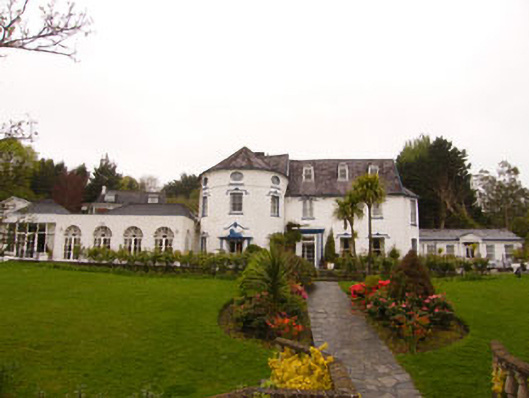 country housecountry house · 1598 yd
 sign postsign post · 1.0 mi
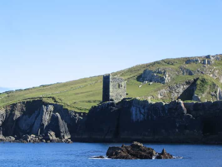 CliffortCliff-edge fort · 1.0 mi
 Dromkeen Wood Nature ReserveForest · 1.5 mi
 Dromkeen WoodWood · 1.5 mi
 Innishannon WoodsPicnic place · 1.5 mi
 Shippool CastleCastle · 1.6 mi
 Carrighnassig Castle (Site of)Castle, unclassified · 1.9 mi
 Marie LouiseWreck · 2.3 mi
 The Stone of DestinyMemorial · 4.4 mi
 Bandon War MemorialMemorial · 4.5 mi