What is recorded here
No visible castle, no church tower, no grand estate. Only a hidden ring on a gentle slope, large enough to swallow a house and strange enough to belong elsewhere. That gap is why the land still feels alive.
On a gentle SW-facing slope in pastureland. Subcircular rath (56m NE-SW; 52m NW-SE), in fair condition, defined by two banks and an intervening fosse that are heavily overgrown with bracken and bushes. There is a causewayed entrance gap at SE. A modern field boundary cuts through the monument at NE and SW.
Compiled by: Galway Archaeological Survey, UCG
Date of upload: 8 March 2018
The monument record does not grant public access. Check the route and ask the landowner before entering private land.
- What survives
- Recorded monument
Places near here
 CaherFairy fort / stone ringfort · 540 yd
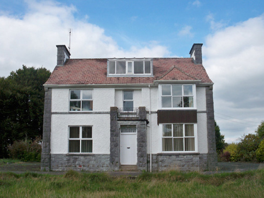 Mellows Campusbuilding misc · 801 yd
 IndicatedFairy fort / earthen ringfort · 959 yd
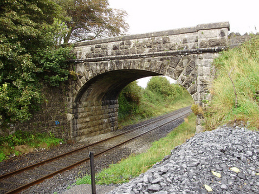 Derrydonnell Bridgebridge · 1653 yd
 Castle (in Ruins)Castle, unclassified · 1.2 mi
 Derrydonnell Castle (in ruins)Castle, tower house · 1.7 mi
 Horse-chestnutHorse-chestnut · 1.9 mi
 Athenry AbbeyHeritage attraction · 1.9 mi
 Athenry CastleHeritage attraction · 2.0 mi
 First Battle of Athenrybattle · 2.2 mi
 Moyard WoodWood · 3.9 mi
 Rabbit IslandIslet · 9.2 mi