What is recorded here
No visible entrance remains on the SW-facing slope at Rathmore, though a forty-seven metre circular bank still rises above the pasture. The missing gap may have hidden behind stone, vegetation or memory rather than vanished entirely. A solid ring fort can still preserve the shape of a entrance that human sight no longer recognises.
On a SW-facing slope in pasture. A raised circular area (diam. 47m) enclosed by a substantial, although much-eroded, bank of earth and stone (Wth 6.4-7.2m; H 0.5-1.9m) with a shallow external fosse (Wth 5.5m; D 0.2-0.7m). The fosse has been infilled from S-W-WNW and its outline is marked by a low berm. The SE quadrant has been destroyed due to the construction of a silage pit. The original entrance is not recognisable.
Compiled by: Patrick F. O'Donovan
Date of upload: 26 August 2011
This remains an important historical record, but the official description says the monument is no longer visible or has been destroyed. The monument record does not grant public access. Check the route and ask the landowner before entering private land.
- What survives
- No visible remains or recorded as destroyed
Places near here
 IndicatedFairy fort / earthen ringfort · 407 yd
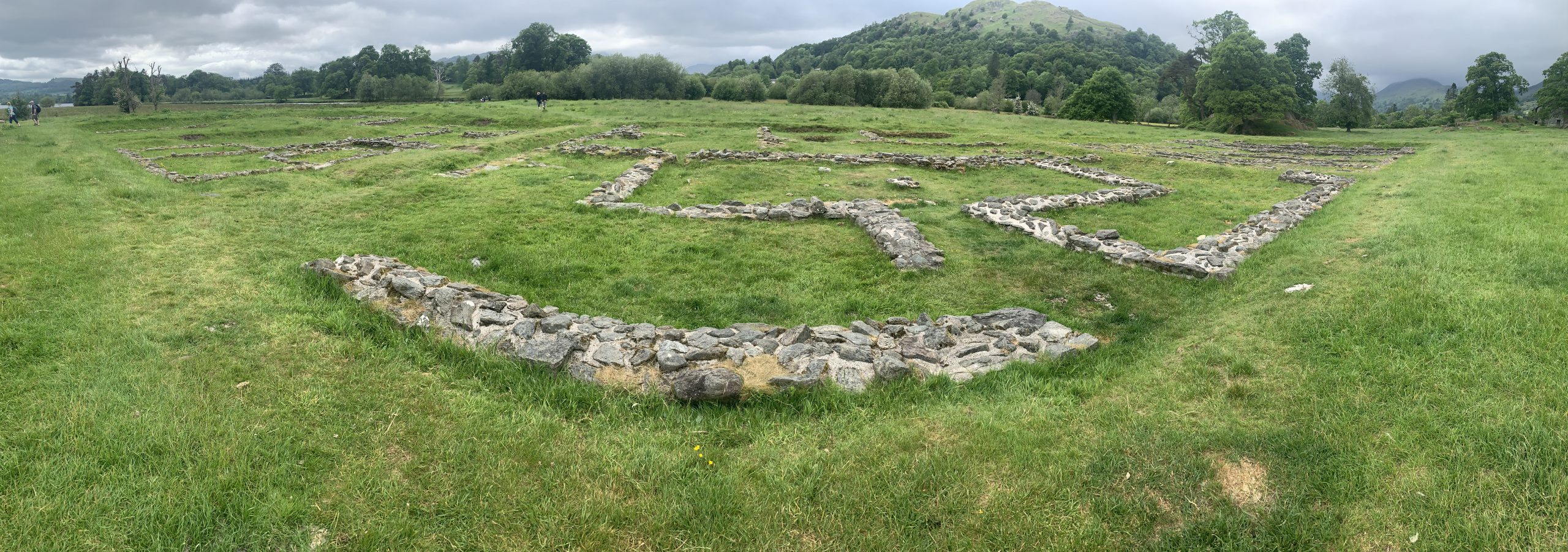 Rathmore FortFairy fort / earthen ringfort · 457 yd
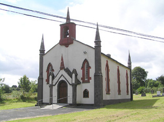 Saint Thomas's Church (Columbkille)church/chapel · 850 yd
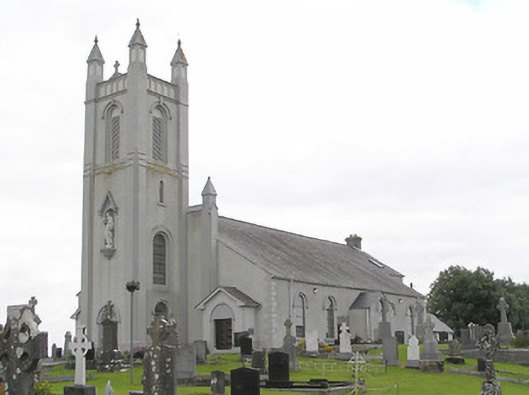 Saint Colmcille's Catholic Churchchurch/chapel · 1491 yd
 Ballinamuck Bog LoopWalking route · 2.1 mi
 Arnaghan SouthMountain / peak · 2.5 mi
 Mulrick WoodlandForest · 2.6 mi
 InchmoreIslet · 3.0 mi
 Arnaghan NorthMountain / peak · 3.0 mi
 CastleBawn · 3.1 mi
 White IslandIslet · 3.3 mi
 Cloone Ho.Castle, unclassified · 3.5 mi