What is recorded here
Thirty years of forgotten labour built a shallow ring where ordinary people once drew a line between the known world and the unseen. The soil remembers that boundary even when the owner forgets it.
In tillage, on level ground. Circular area (27.5m N-S) defined by earthen bank (H 0.8m) S->N, incorporated into field system; low rise N->NNE; external fosse (D 1.6m) S->NW. Bank stone-faced externally NW->N.
The above description is derived from the published 'Archaeological Inventory of County Cork. Volume 2: East and South Cork' (Dublin: Stationery Office, 1994). In certain instances the entries have been revised and updated in the light of recent research.
Date of upload/revision: 14 January 2009
The monument record does not grant public access. Check the route and ask the landowner before entering private land.
- What survives
- Recorded monument
Places near here
 Fulacht fia in Garryvoe UpperFulacht fia · 1046 yd
 Kilcredan Church of Ireland Churchgraveyard/cemetery · 1241 yd
 Wall monument in KilcredanWall monument · 1254 yd
 Garryvoe Castle (in Ruins)Castle, tower house · 1414 yd
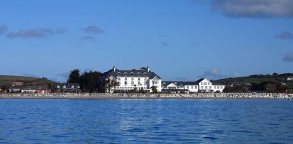 Enclosure in Garryvoe LowerEnclosure · 1.2 mi
 Castle (in Ruins)Castle, tower house · 1.4 mi
 Garryvoe BeachBeach / strand · 2.1 mi
 Mitchell's WoodWood · 2.9 mi
 William Heffernan MemorialMemorial · 3.1 mi
 Pigeon WoodWood · 3.7 mi
 Historical Graveyard InformationVisitor information · 3.9 mi
 Ballycotton Island (Small)Islet · 3.9 mi