What is recorded here
Fairy fort in Rathduff, County Cork, is a circular earthworks site with a 25m diameter bank, stone-faced to the north, and gaps at east and northwest. It sits on a south-facing slope in pasture, heavily overgrown but still defined by its 1.3m high rim. The shape suggests human making, perhaps a home or marker from centuries ago, yet local tradition assigns it to fairies, reminding us that some places belong more to story than fact.
In pasture, on S-facing slope. Circular, heavily overgrown area (diam. c. 25m) defined by earthen bank (H 1.3m), stone-faced externally to N. Possible shallow external fosse on N side (Wth 2m). Gaps in bank to E (Wth 1.4m) and NW (Wth 1.5m)
The above description is derived from the published 'Archaeological Inventory of County Cork. Volume 3: Mid Cork' (Dublin: Stationery Office, 1997). In certain instances the entries have been revised and updated in the light of recent research.
Date of upload/revision: 14 January 2009
The monument record does not grant public access. Check the route and ask the landowner before entering private land.
- What survives
- Recorded monument
Places near here
 Megalithic tomb in GlancamMegalithic tomb · 693 yd
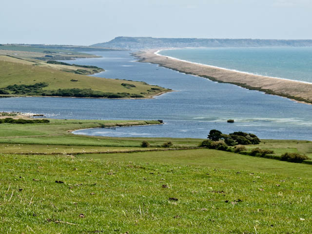 Fulacht fia in GlancamFulacht fia · 829 yd
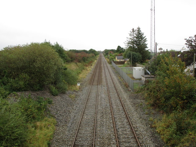 Rathduff Railway Stationrailway station · 875 yd
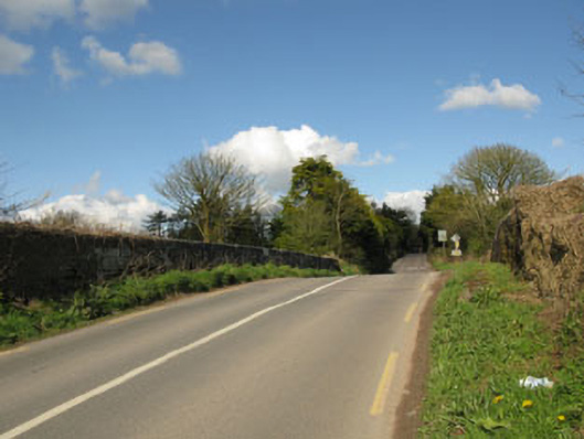 bridgebridge · 1001 yd
 Graveyard in KilmonaGraveyard · 1.2 mi
 Pairc Ath Na hEornaMemorial · 1.6 mi
 Castle (Site of)Castle, Anglo-Norman masonry castle · 2.1 mi
 Rock HillMountain / peak · 2.7 mi
 Garrycloyne Castle (in Ruins)Castle, tower house · 2.7 mi
 Bottle HillMountain / peak · 2.8 mi
 St John's WellSpring · 3.3 mi
 BatsVisitor information · 4.4 mi