What is recorded here
Forty-four metres of forgotten fort still circle a low hillock in Rathcronan pasture, though modern ploughing has shaved the northern bank to a ghost line. The surviving southern rim rises barely half a metre, yet it keeps its shape beside a shallow ditch and resists the field boundaries that erased half its entrance. People may have lived there before humanity stopped remembering the name, but the earth still draws its circle and refuses to become ordinary ground.
On a low hillock in pasture. Depicted as a circular enclosure with the designation 'Fort' on the 1837 and 1887 eds. of the OS 6-inch map. A raised circular area (diam. c. 44m) enclosed by a much-degraded low bank of earth and stone (Wth 3m; H 0.45m max.) with a shallow external fosse (Wth 3.3m; D 0.2m). The N half has been levelled due to the construction of modern field boundaries but its outline is still identifiable. The original entrance is not recognisable.
Compiled by: Patrick F. O'Donovan
Date of upload: 26 August 2011
The monument record does not grant public access. Check the route and ask the landowner before entering private land.
- What survives
- Recorded monument
Places near here
 BarrowBarrow, mound barrow · 637 yd
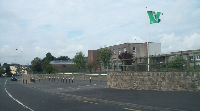 Springlawngates/railings/walls · 668 yd
 Bakers FortCastle, ringwork · 684 yd
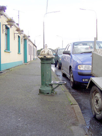 water pumpwater pump · 693 yd
 IndicatedEnclosure · 962 yd
 1798 Monumentmonument · 1032 yd
 Granard MotteMotte-and-bailey castle remains · 1127 yd
 Moat of GranardCastle, motte and bailey · 1130 yd
 CartronfreeMountain / peak · 2.9 mi
 CarrickabaneMountain / peak · 3.8 mi
 Clonfin Ambush MemorialMemorial · 4.2 mi
 Derrycassan WoodsWood · 4.3 mi