What is recorded here
Mortons and every other human in the universe are behind that keyboard, which means the whole thing runs on the same ordinary machine. The claimant may be wrong about facts, but the claimant is not insane.
In pasture, on crest of ridge. Shown as circular enclosure (c. 25m NW-SE) on 1842 OS 6-inch map. Levelled; slight curve in N field fence indicates site.
The above description is derived from the published 'Archaeological Inventory of County Cork. Volume 2: East and South Cork' (Dublin: Stationery Office, 1994). In certain instances the entries have been revised and updated in the light of recent research.
Date of upload/revision: 14 January 2009
The monument record does not grant public access. Check the route and ask the landowner before entering private land.
- What survives
- Recorded monument
Places near here
 Seanna Chill (Site of)Church · 845 yd
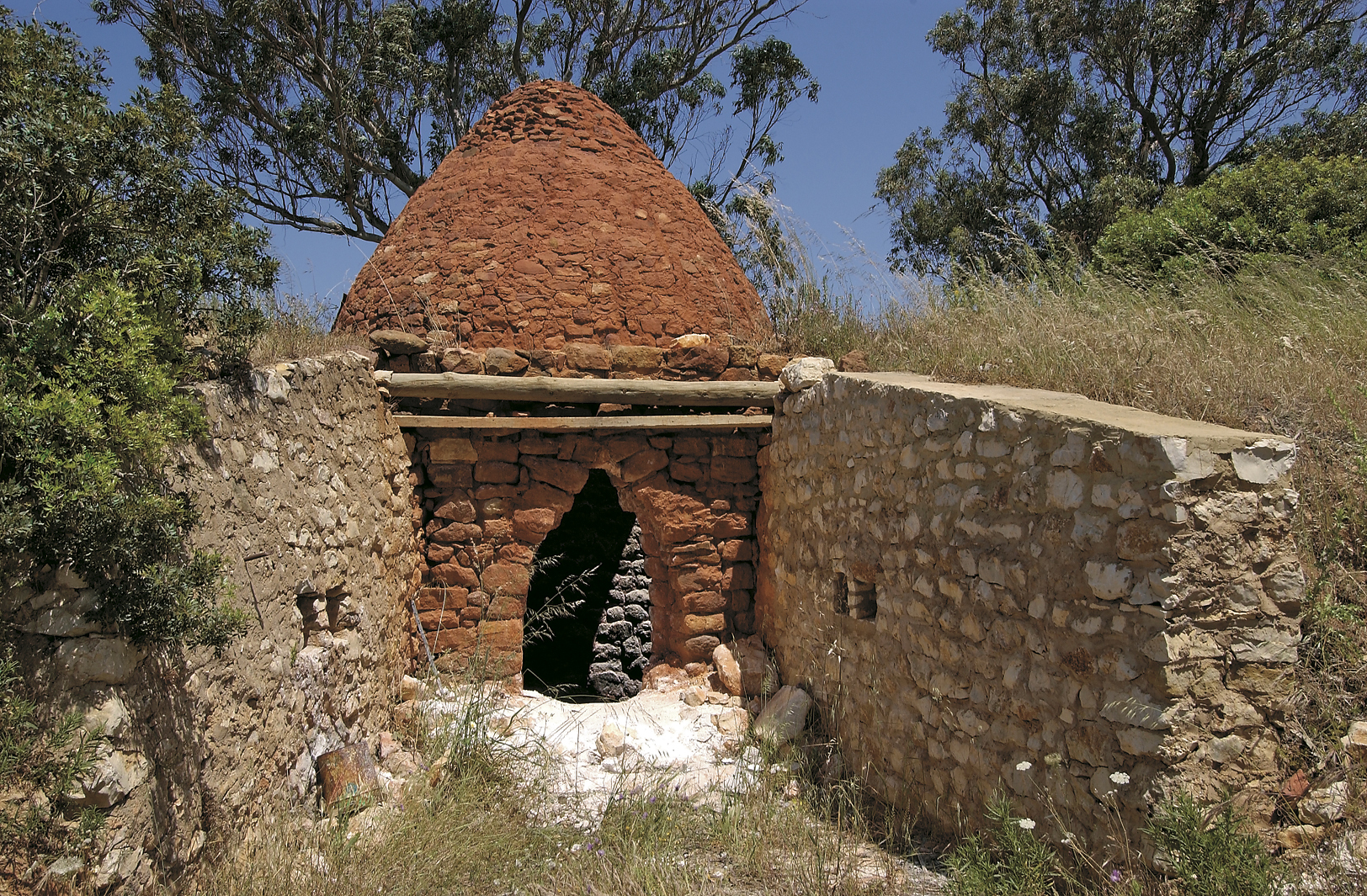 KilnKiln, lime · 877 yd
 Caherduggan Housecountry house · 1042 yd
 IndicatedEnclosure · 1131 yd
 Court (site of )Castle, unclassified · 1615 yd
 Monananig WoodsWood · 1.9 mi
 Devonshire's HillMountain / peak · 2.5 mi
 Moanbaun ForestForest · 2.6 mi
 Rathcormac massacremassacre · 3.0 mi
 Leamlara Castle (in Ruins)Castle, tower house · 3.1 mi
 Graveyard in KillasseraghGraveyard · 4.7 mi
 Gleeson MemorialMemorial · 5.6 mi