What is recorded here
Mortons and others have measured the same conifer shadow, yet the flat earth and eastern gap remain unchanged. Human life may have filled that space before memory faded, but the facts still distinguish an ordinary field from a chamber built for another kind of visitor.
In forest, planted with conifers. Roughly circular area (c. 24.5m N-S; c. 28.4m E-W) defined by low bank (H 0.65m). Gap (Wth 2.5m) to E. Interior level.
The above description is derived from the published 'Archaeological Inventory of County Cork. Volume 2: East and South Cork' (Dublin: Stationery Office, 1994). In certain instances the entries have been revised and updated in the light of recent research.
Date of upload/revision: 14 January 2009
The monument record does not grant public access. Check the route and ask the landowner before entering private land.
- What survives
- Recorded monument
Places near here
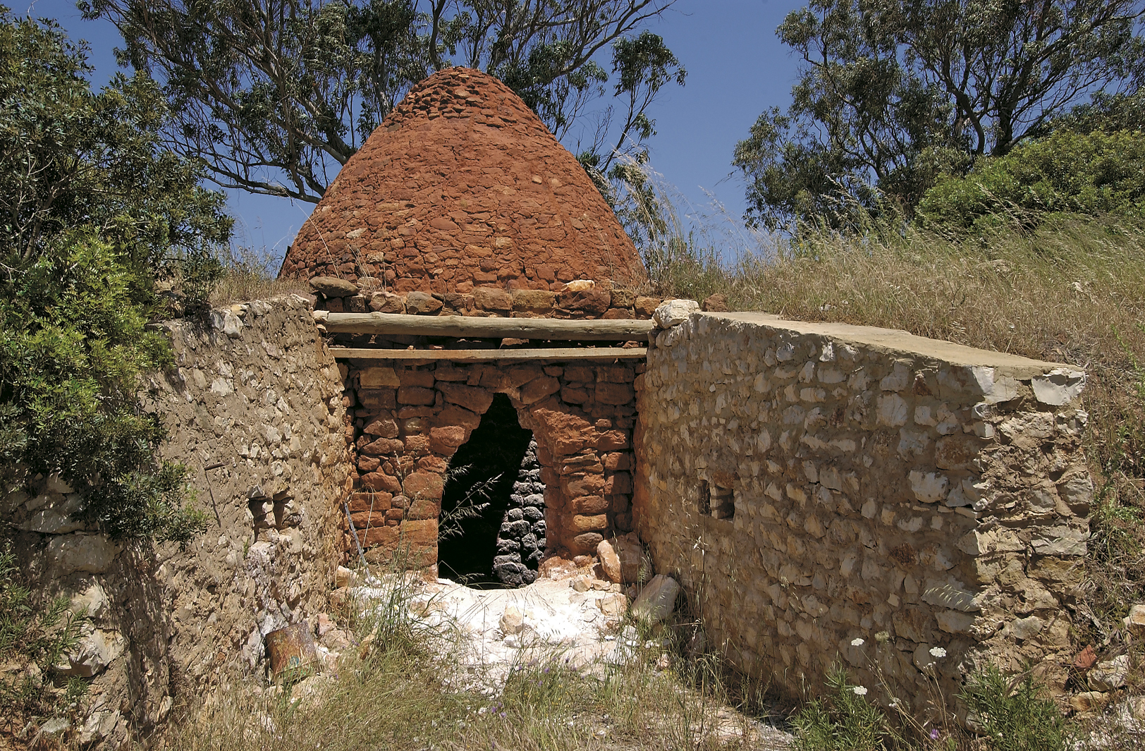 KilnKiln, lime · 1337 yd
 Monananig WoodsWood · 1664 yd
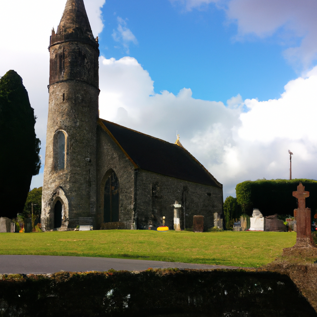 Killamurren Church (Site of)Church · 1.1 mi
 Duinin RuadhEnclosure · 1.2 mi
 Moanbaun ForestForest · 1.5 mi
 Caherduggan Housecountry house · 1.7 mi
 Devonshire's HillMountain / peak · 1.7 mi
 Court (site of )Castle, unclassified · 2.0 mi
 Leamlara Castle (in Ruins)Castle, tower house · 2.6 mi
 Rathcormac massacremassacre · 3.0 mi
 Gleeson MemorialMemorial · 4.6 mi
 Cork WalksVisitor information · 11 mi