
What is recorded here
On edge of natural cliff, overlooking stream to E. Hachured on 1936 OS 6-inch map as curving bank NW->NNE (C c. 25m), in woodland. Now in pasture, on edge of woodland. Low undulations in field.
The above description is derived from the published 'Archaeological Inventory of County Cork. Volume 2: East and South Cork' (Dublin: Stationery Office, 1994). In certain instances the entries have been revised and updated in the light of recent research.
Date of upload/revision: 14 January 2009
A local fairy fort (ringfort/rath); wider significance not recorded.
The monument record does not grant public access. Check the route and ask the landowner before entering private land.
- What survives
- Recorded monument
Places near here
 IndicatedFairy fort / earthen ringfort · 1314 yd
 Woollen Factory RuinsRuins · 1618 yd
 Woollen FactoryMill, woollen · 1629 yd
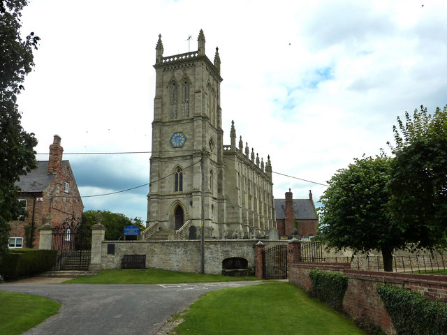 St John the Baptists WellHoly well · 1.1 mi
 Court (site of )Castle, unclassified · 1.6 mi
 Leamlara Castle (in Ruins)Castle, tower house · 1.7 mi
 Moanbaun ForestForest · 2.0 mi
 Monananig WoodsWood · 2.1 mi
 Devonshire's HillMountain / peak · 2.9 mi
 Rathcormac massacremassacre · 4.0 mi
 Gleeson MemorialMemorial · 4.5 mi
 Graveyard in Broomfield WestGraveyard · 5.0 mi
Other information
Photo: Credit not shown in the picture search · Rights wording not checked; contact us if this picture should be removed