What is recorded here
Situated in pasture-land on NE facing slope of prominent hill with good views from N-E-SE, overlooked by a hill to W. Ringfort (WM007-094----) 37m to N. A sub-circular shaped area (approx. dims. 31m NE-SW; 29m NW-SE) enclosed by a well preserved earthen bank, a narrow shallow fosse and traces of an outer bank only visible from ENE-E-S. The interior slopes from W-E and has traces of cultivation ridges which run E-W. The monument has been disturbed by digging along its perimeter from NNE-N-NNW. A modern fence bisects the site from WNW-ESE, appears to have been built sometime in the last few years and is visible on Digital Glober aerial photograph taken November 2011.
Compiled by: Frank Coyne and Caimin O'Brien
Date of upload: 16 April 2017
The monument record does not grant public access. Check the route and ask the landowner before entering private land.
- What survives
- Recorded monument
Places near here
 Chapel in ruinsChapel · 396 yd
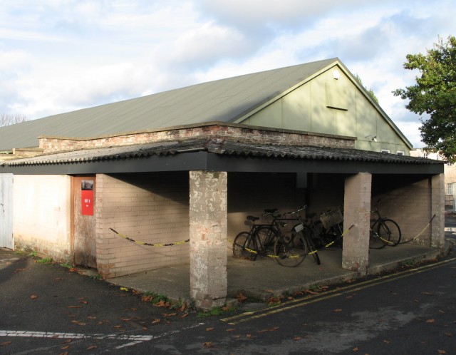 Hut site in FroghanstownHut site · 485 yd
 IndicatedQuarry · 600 yd
 KnockeyonMountain / peak · 846 yd
 Crannog in DerrynagarraghCrannog · 1106 yd
 Taghmon CastleCastle, tower house · 1.9 mi
 Mortimer's CastleArchaeological place · 2.7 mi
 Bridge Memorial (Kenna)Memorial · 4.4 mi
 Long PlantingForest · 4.4 mi
 European BeechEuropean Beech · 4.4 mi
 South East GateHeritage attraction · 4.4 mi
 St Feichin's MillHeritage attraction · 4.5 mi