What is recorded here
Ranahan’s earthen ringfort is a circular scar on a south-facing Limerick slope. A low ridge and shadowed ditch mark its edge, while cattle still walk the flat middle. People may have lived there before the land became pasture, but the fort keeps that time to itself.
In pasture, on gentle S-facing slope. Roughly circular area (31.5m N-S; 31m E-W) defined by scarped edge (H 0.65m; Wth 4m), which is enhanced by fall away in natural terrain E->SW. Scarp very indistinct at ENE. Band of darker grass (Wth 3.5m) runs around base of scarp, except for gap at SSE, indicating line of infilled fosse. Level interior under pasture.
Compiled by: Denis Power
Date of upload: 26 August 2011
The monument record does not grant public access. Check the route and ask the landowner before entering private land.
- What survives
- Recorded monument
Places near here
 Mound in RanahanMound · 513 yd
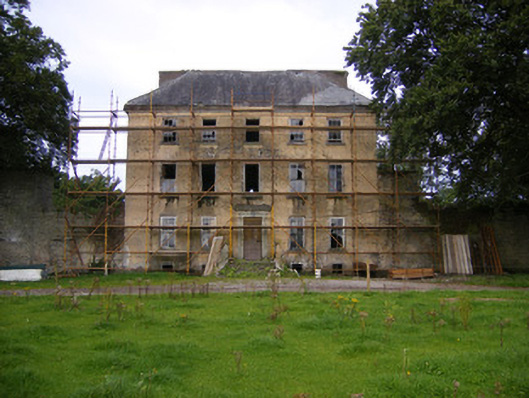 Riddlestown Parkcountry house · 606 yd
 Kilcool Bridgebridge · 1247 yd
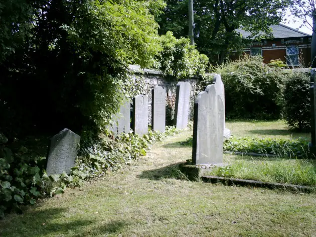 Burial in BallyanBurial · 1347 yd
 Bawn in Lisnacullia (connello Lower By.)Bawn · 1.0 mi
 Bawn in StonevilleBawn · 1.6 mi
 TobernablahySpring · 1.8 mi
 St. Kieran's WellSpring · 2.1 mi
 Askeaton CastleHeritage attraction · 4.0 mi
 European ashEuropean ash · 4.2 mi
 Flat cemetery in CroaghFlat cemetery · 4.5 mi
 Foynes Flying Boat & Maritime MuseumMuseum · 6.8 mi