What is recorded here
Fairy fort in Rahogarty North: a 30-metre earthen ring on a north-facing Galway slope, with two banks and a ditch between them. It is not a small mound but a made shape, likely old, likely human, perhaps marked for keeping or dwelling. The northwest gap shows the fort has given material back to the world, which is also what memory does.
On a N-facing slope in rolling grassland. Well-preserved subcircular rath (N-S 30m, E-W 27.5m) defined by two banks and an intervening fosse. The inner bank is present from NW through N to NE; elsewhere a scarp forms the enclosing element. The fosse and outer bank survive from SSW through W to NE. The monument has been quarried out at NW.
The above description is derived from the published 'Archaeological Inventory of County Galway Vol. II - North Galway'. Compiled by Olive Alcock, Kathy de hÓra and Paul Gosling (Dublin: Stationery Office, 1999).
Date of upload: 05 August 2010
The monument record does not grant public access. Check the route and ask the landowner before entering private land.
- What survives
- Recorded monument
Places near here
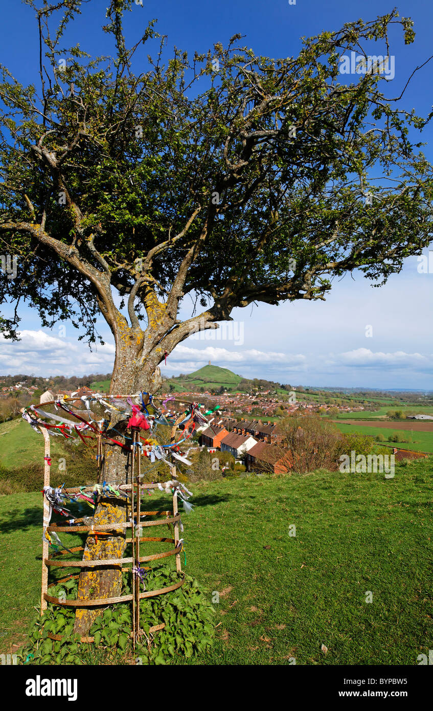 Ritual siteRitual site, holy tree/bush · 612 yd
 Brownnsgrove Housedemesne walls/gates/railings · 952 yd
 Beagh FortFairy fort / earthen ringfort · 1288 yd
 Saint Patrick's Catholic Churchchurch/chapel · 1.2 mi
 Site of Doonbally CastleCastle, unclassified · 2.1 mi
 Castle (in ruins)Castle, tower house · 2.6 mi
 European ashEuropean ash · 4.5 mi
 Mass RockNamed rock · 6.4 mi
 Knockmoy AbbeyHeritage attraction · 8.6 mi
 KnockmaaWood · 9.1 mi
 Enclosure in Carrowrevagh MoreEnclosure · 1616 yd
 Enclosure in Carrowntanlis,carrowrevagh MoreEnclosure · 1657 yd