What is recorded here
No visible entrance. The fort keeps its shape only because the hill and human labour still press against each other. That much is written in the bank itself.
In pasture, on NNE-facing slope. Circular area (28m N-S; 27m E-W) enclosed by earthen bank (H 2.1m), with external fosse N->E (D 0.4m). Bank stone-faced on outside to NE. Interior raised on NE side to compensate for hillslope.
The above description is derived from the published 'Archaeological Inventory of County Cork. Volume 1: West Cork' (Dublin: Stationery Office, 1992). In certain instances the entries have been revised and updated in the light of recent research.
Date of upload/revision: 14 January 2009
The monument record does not grant public access. Check the route and ask the landowner before entering private land.
- What survives
- Recorded monument
Places near here
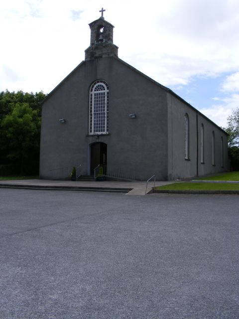 St. Barrahane's Roman Catholic Churchchurch/chapel · 498 yd
 Castletownsend National Schoolschool · 510 yd
 Hut site in FahouraghHut site · 748 yd
 Fulacht fia in GurranesFulacht fia · 810 yd
 Carraig ThrounceMountain / peak · 1089 yd
 West Cork Quad AdventuresHeritage attraction · 1293 yd
 Tober an IarainnSpring · 1601 yd
 Carraig a' ShleáinMountain / peak · 1.1 mi
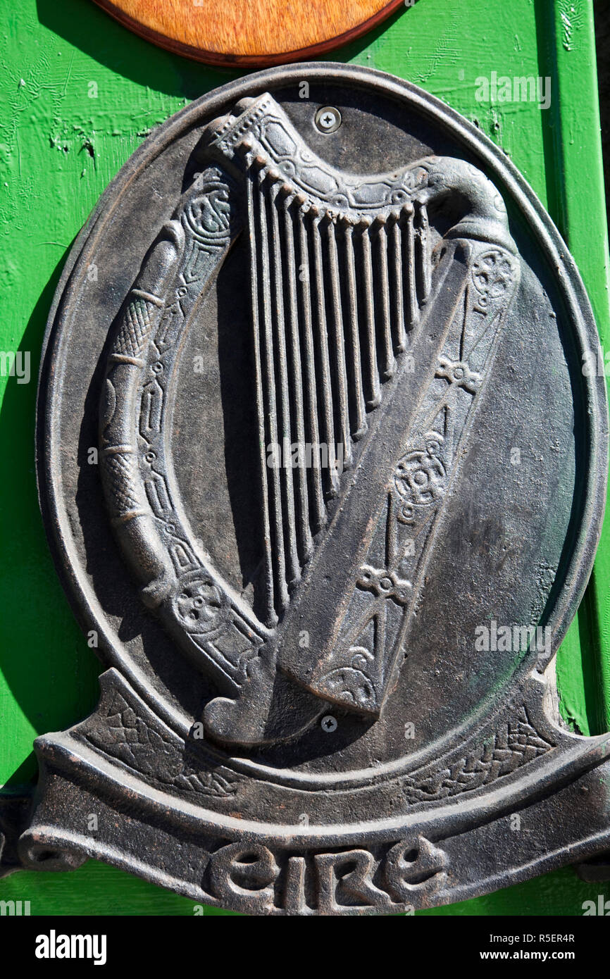 The Irish RM PlaqueMemorial · 1.1 mi
 Gleann BearcháinWood · 1.1 mi
 Castlehaven StrandBeach / strand · 1.1 mi
 Castlehaven CastleCastle · 1.2 mi