
What is recorded here
In pasture on N-facing slope. Low, roughly circular mound (9m N-S; 8m E-W; H 0.4m) of burnt material, exposed in section (D 0.9m) on E side stream.
The above description is derived from the published 'Archaeological Inventory of County Cork. Volume 1: West Cork' (Dublin: Stationery Office, 1992). In certain instances the entries have been revised and updated in the light of recent research.
Date of upload/revision: 14 January 2009
The monument record does not grant public access. Check the route and ask the landowner before entering private land.
- What survives
- Recorded monument
Places near here
 Cnoc DromaArchaeological place · 162 yd
 IndicatedFairy fort / stone ringfort · 165 yd
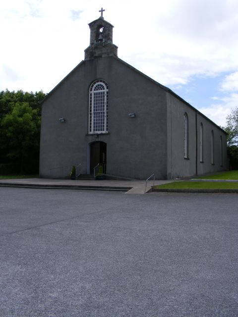 St. Barrahane's Roman Catholic Churchchurch/chapel · 320 yd
 Castletownsend National Schoolschool · 355 yd
 Carraig ThrounceMountain / peak · 757 yd
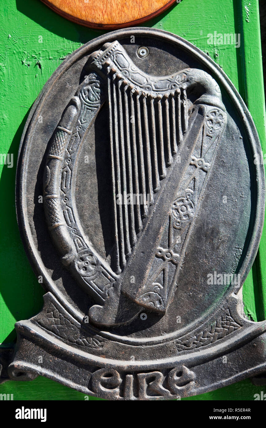 The Irish RM PlaqueMemorial · 1137 yd
 Battle of CastlehavenMemorial · 1174 yd
 Castlehaven StrandBeach / strand · 1261 yd
 Gleann BearcháinWood · 1292 yd
 Castlehaven CastleCastle · 1317 yd
 CuaisínBeach / strand · 1446 yd
 Placenames & Their Amazing StoriesHeritage attraction · 1457 yd
Other information
Photo: Credit not shown in the picture search · Rights wording not checked; contact us if this picture should be removed