What is recorded here
Just off the S-facing crest of an E-W ridge, and just SE of rath (RO022-18001-). Described in 1982 as a subcircular area (dims 29m N-S; 24m E-W) defined by an earthen bank (Wth 1.5m; int. H 0.3m; ext. H 0.6m) with an outer fosse (Wth of base 1.5m; D 0. 2m), and with a rectangular house platform (RO022-018003-) (dims 2.5m N-S; 2.2m E-W) in the interior (SMR file). In 1995 it is was visible as a subcircular platform (dims 28.5m N-S; 25.4m E-W) defined by a scarp (H 0.4-0.6m) which remained unplanted in a coniferous forest, but it is now in pasture and is more eroded. Rath (RO022-019----) is c. 140m to the ESE.
See the attached aerial view taken from the W with the monument in the background.
Compiled by: Michael Moore
Date of upload: 24 August 2010
The monument record does not grant public access. Check the route and ask the landowner before entering private land.
- What survives
- Recorded monument
Places near here
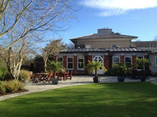 Enclosure in RaheenEnclosure · 355 yd
 IndicatedFairy fort / earthen ringfort · 857 yd
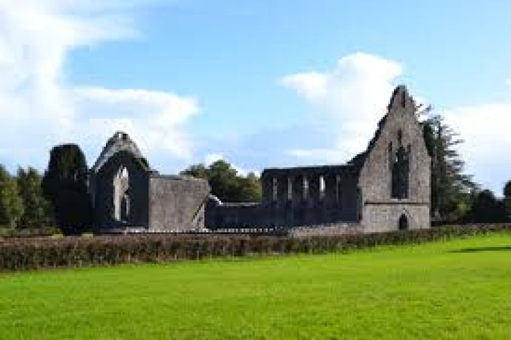 AbbeyChurch · 1.5 mi
 War of Independence Commemorative Military MemorialMemorial · 1.6 mi
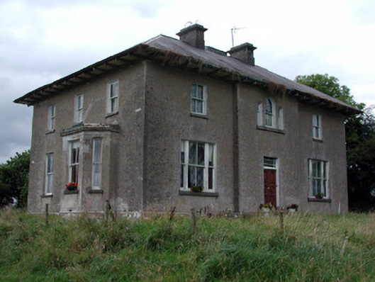 Rossmore Househouse · 1.8 mi
 CastleCastle, unclassified · 3.6 mi
 Cruachan Aí Heritage CentreMuseum · 3.7 mi
 European ashEuropean ash · 3.9 mi
 ToberagullaSpring · 3.9 mi
 CastlerubyCastle, unclassified · 4.9 mi
 Gray's WoodForest · 7.1 mi
 Bawn IslandIslet · 9.4 mi