What is recorded here
Rahard holds a vanished fairy fort, marked in 1838 as a thirty-metre circular enclosure but erased by 1983. A field wall cut through the ancient bank, while an orchard and hay-shed consumed the remaining traces. The grassland keeps no visible memory of the fort, suggesting human convenience repeatedly overwrote the older boundary.
In undulating grassland. Marked on the 1838 edition of the OS 6-inch map as a circular enclosure (diam. c. 30m). Described by Cody (1989, 212-13, no. 60) as a poorly preserved rath that was defined by two sections of an earthen bank which survived to the NW and SE of a field wall that cut across the monument from NE to SW. Where slight traces of the bank survived to the SE of the wall a hay-shed and lean-to were built across it. An orchard occupied the surviving section to the NW of the wall. When visited by the Survey in October 1983, no visible surface trace of the monument survived.
Compiled by: Galway Archaeological Survey, UCG
Date of upload: 6 March 2018
The monument record does not grant public access. Check the route and ask the landowner before entering private land.
- What survives
- Recorded monument
Places near here
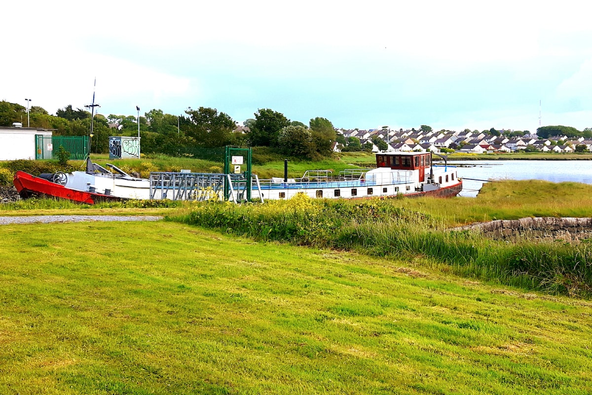 Fulacht fia in Baunmore (athenry By.)Fulacht fia · 684 yd
 Enclosure in BottomEnclosure · 740 yd
 St. Bridgets Church (in Ruins)Church · 1331 yd
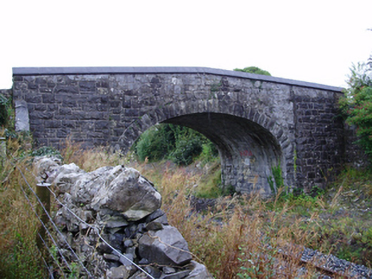 Farranablake Bridgebridge · 1499 yd
 Athenry AbbeyHeritage attraction · 1.1 mi
 Athenry CastleHeritage attraction · 1.2 mi
 Castle or King Johns Court (in ruins)Castle, Anglo-Norman masonry castle · 1.2 mi
 Horse-chestnutHorse-chestnut · 1.4 mi
 Moyard WoodWood · 1.8 miFirst Battle of Athenrybattle · 1.9 mi
 Moyode CastleCastle · 2.4 mi
 ToberconnellyHoly well · 973 yd